China Launches Hyperspectral Remote Sensing Satellite – Gaofen-5 02
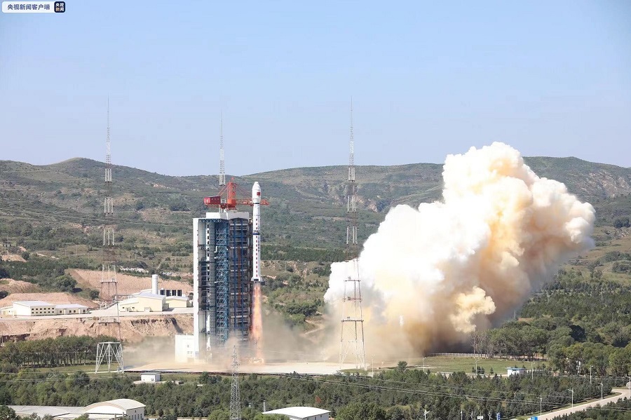
China successfully launched the Gaofen-5 02 into space from the Taiyuan Satellite Launch Center in northern Shanxi Province on September 07, 2021. The satellite was launched using the Long March-4C carrier rocket. It was the 387th flight mission of the Long March carrier rocket series.
The China Aerospace Science and Technology Corporation (CASC), announced the success of the launch once the satellite had entered its planned sun-synchronous orbit. U.S. space tracking reported the satellite to be in a roughly 685 KMs altitude orbit inclined by 98 degrees.
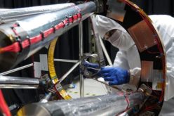
Gaofen-5 02 is a hyperspectral satellite that will be used for comprehensive environmental, atmosphere, water, and land monitoring. The satellite’s service will strengthen China’s environmental protection efforts, improve its natural resources surveillance, improve disaster prevention and relief work and boost climate change research.
The satellite and carrier rocket were developed by the Shanghai Academy of Spaceflight Technology under the China Aerospace Science and Technology Corporation.
Hyperspectral remote sensing is the science of acquiring digital imagery of earth materials in many narrow contiguous spectral bands. Hyperspectral remote sensing instruments are typical with several contiguous bands in all parts of the spectrum in which they operate. Hyperspectral remote sensing involves breaking broadband from the visible and infra-red into hundreds of spectral parts, which allows a very precise match of ground characteristics, such as color, to the reference standards.
The new satellite will join other optical and radar remote sensing satellites in the Gaofen series which together form the China High-resolution Earth Observation System (CHEOS). The first CHEOS satellite, Gaofen 1, was launched in 2013. Little is known about newer, higher numbered Gaofen satellites like Gaofen 11, which may have very high-resolution optical imagers.
The first Gaofen 5 satellite was launched in 2018. The launch of the new satellite had slipped by a day, according to earlier closure notices indicating a planned launch for 24 hours earlier. No reason for the delay was reported by China.
Source – space.com, news.cgtn.com
Also Read –
China Launches Two Microwave Satellite System – Tianhui 2