
Archive

India Signed Arrangement on the Joint development of a Small Satellite for Bhutan
India signed the implementing arrangement on the joint development of a small satellite for Bhutan. The agreement was inked by Shri R Umamaheswaran, Scientific Secretary, Indian Space Research Organisation, and

25 years of successful cooperation between GAF AG (Germany), DLR (Germany) and Antrix (India)
GAF, the German Aerospace Center (DLR) in Neustrelitz and Antrix Corporation have a successful cooperation stretching back 25 years. In 1996, they signed agreements for the purpose of receiving Indian Earth observation

Landsat 9 Satellite – Latest and Powerful Satellite in the Landsat Series
Landsat 9 carries two science instruments – the Operational Land Imager 2, and Thermal Infrared Sensor 2.

Enhanced User Experience with New Online Map Service
PlanetObserver and Kalisio reveal My Planet Maps, a new subscription-based online map service that delivers immediate streaming access to fresh and global data. It includes performant vector and raster georeferenced

RIEGL Presents New Products at INTERGEO 2021
INTERGEO is back LIVE in Hanover this year – and RIEGL presents the latest developments in hardware and software at booth 20C.22 in hall 20 but also digital at the

Avenza Releases Geographic Imager 6.4 for Adobe Photoshop
Avenza Systems Inc., producers of the Avenza Maps ® app for mobile devices and geospatial plugins for Adobe ® Creative Cloud ®, including MAPublisher ® for Adobe Illustrator ®, is
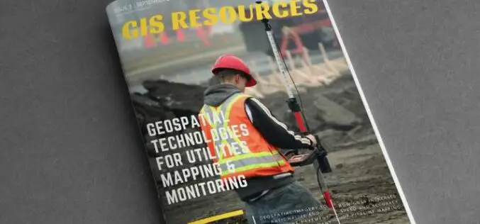
GIS Resources Magazine (Issue 3 | September 2021): Geospatial Technologies for Utilities Mapping & Monitoring
GIS Resources is pleased to announce the release of its 3rd edition (September 2021) of the print and digital magazine. The edition titled “Geospatial Technologies for Utilities Mapping & Monitoring.” Electricity,
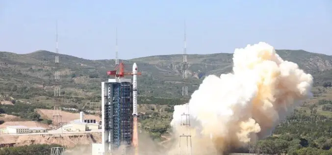
China Launches Hyperspectral Remote Sensing Satellite – Gaofen-5 02
China successfully launched the Gaofen-5 02 into space from the Taiyuan Satellite Launch Center in northern Shanxi Province on September 07, 2021. The satellite was launched using the Long March-4C
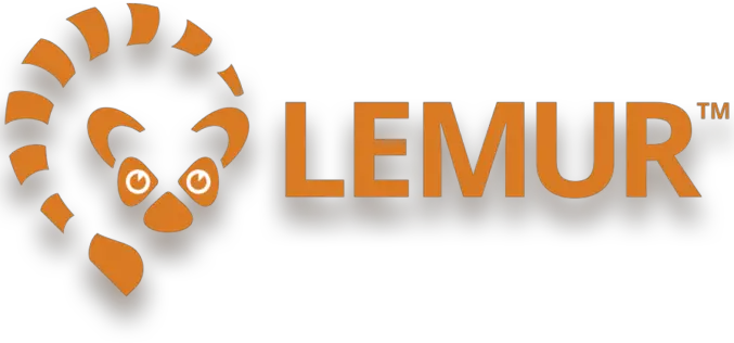
New Lemur Release Extends Enterprise Mobile GIS Capabilities
Intuitive Critigen solution delivers enhanced data synchronization, scalability, and security for tens of thousands of field workers Critigen today announced the latest release of Lemur, its mobile GIS solution. Lemur delivers enterprise
Machine Learning to Discover Shell Rings Using Remote Sensing Data
Deep in the dense coastal forests and marshes of the American Southeast lie shell rings and shell mounds left by Indigenous people 3,000 to 5,000 years ago. Now an international
