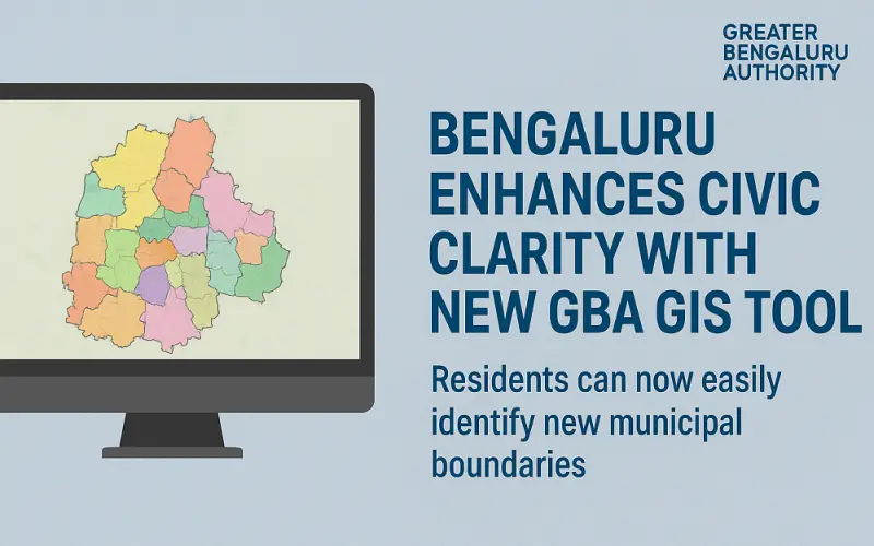
In a significant stride toward improving urban governance, the Greater Bengaluru Authority (GBA) has unveiled a powerful GBA GIS tool to help residents easily identify the new municipal boundaries following the dissolution of the Bruhat Bengaluru Mahanagara Palike (BBMP). This initiative reflects GBA’s commitment to transparency and citizen engagement.
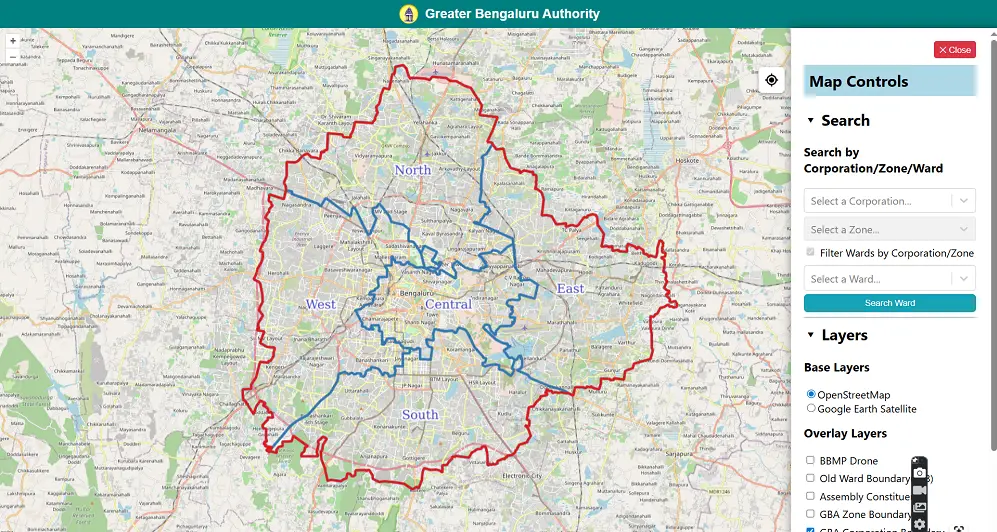
According to a report by Hindustan Times, residents can now view the exact limits of each corporation through an interactive Geographic Information Systems (GIS) map either by assembly constituency or by referring to the older 198-ward structure. The platform is currently live at bbmp.gov.in/gisviewer.
Experience
Residents can now personally explore municipal demarcations through the newly launched interactive Geographic Information Systems platform, accessible at bbmp.gov.in/gisviewer. The GBA GIS tool offers two views: boundary lines by assembly constituency or the traditional 198-ward structure, enabling users to understand the jurisdiction they fall under intuitively.
Also Read – Bengaluru Firm Partners with ISRO to Develop AI for Marine Pollution Detection
Expertise
The GBA is enhancing the application’s usability further. Munish Moudgil, Special Commissioner (Administration, Revenue & IT), announced that a simplified, more user-friendly version will soon be available through the Dishaank app, ensuring smoother access to ward-level boundaries.
Authoritativeness
Deputy Chief Minister D. K. Shivakumar has emphasized the importance of demarcation becoming visible in both virtual and physical realms. Alongside the GBA GIS tool, plans are underway to install physical boundary markers—border towers and signboards—across the city to clearly define civic jurisdictions. This dual approach enhances reliability: virtual maps backed by physical landmarks.
Trustworthiness
By launching the GBA GIS tool, the authority addresses longstanding confusion among Bengaluru residents about which civic body they can approach for services or grievances. The complementary measures—digital access with planned physical markers—boost trust in the new governance structure and enable citizens to navigate municipal responsibilities confidently.
Source: Moneycontrol, The Bengaluru Live