
Geo Events
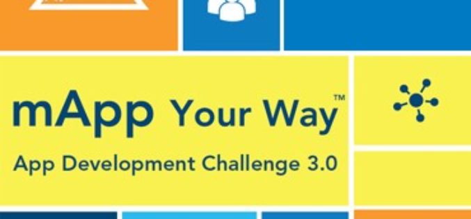
mApp Your Way – Esri India App Development Challenge
mApp Your Way is an application (mobile or web) development challenge being organized by Esri India. The challenge intends to provide a platform to the institutes and students (UG/PG/Research scholars) to showcase
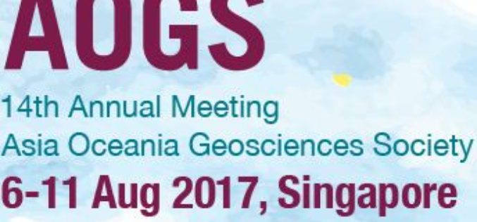
Invitation to Submit Abstracts to AOGS Session on Satellite Remote Sensing of Air Quality
Satellite Remote Sensing Methods and Data Applications for Air Quality Monitoring and Research in Asia Abstract to Session #AS15 of the 2017 AOGS (Asia Oceania Geosciences Society) Annual Meeting (August
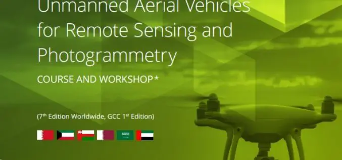
ICBA Workshop on Unmanned Aerial Vehicles for Remote Sensing and Photogrammetry
Unmanned Aerial Vehicles for Remote Sensing and Photogrammetry Monday, March 20, 2017 – Wednesday, March 29, 2017 International Center for Biosaline Agriculture (ICBA) is an international, non-profit agricultural research center
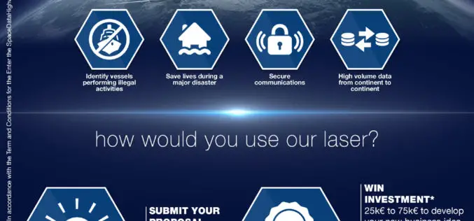
Airbus Launches “Enter the SpaceDataHighway” Challenge
• Aims to foster innovation for its brand-new laser-based space communication system. • Winner will be awarded €75,000 investment and will get support of Airbus BizLab. 12 January 2017 – Transmitting large
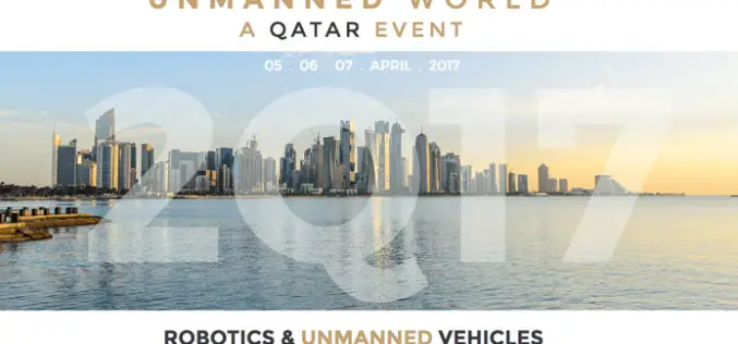
“UNMANNED WORLD”, the first and most complete Exhibition of Unmanned Vehicles in Middle East will take place at Qatar in April 2017
Unmanned World will gather Robotics and Unmanned ground and surface vehicles (UGV & USV), Remotely Operated Vehicles (ROV) and Unmanned Aerial Vehicles UAV, which are one of the largest investment opportunities worldwide. Unmanned

International Conference on Urban Geoinformatics (ICUG) – 2017, Teri University, New Delhi
The rapidly-evolving field of urban Geoinformatics can play a pivotal role in the ‘smart cities’ of the future. TERI University is organising the inaugural edition of the International Conference on
PHOTOMOD Technical Seminar in Agra, India – Limited Offer
PHOTOMOD technical seminar will take place on November 16 (Wednesday). This free seminar provides a forum for professionals working in the field of photogrammetry and covers topics related to increasing
Copernicus Thematic Workshop With Private Sector Representatives on Raw Materials and the Extractive Industries
Copernicus Thematic Workshop With Private Sector Representatives on Raw Materials and the Extractive Industries Copernicus is a user-driven programme with an important impact on different societal areas involving diverse communities

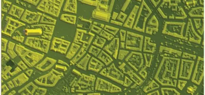
IARPA Announces the Multi-View Stereo 3D Mapping Challenge
Washington, D.C. – As reported in a recent press release by the Ofice of the Director of National Intelligence, the Intelligence Advanced Research Projects Activity (IARPA), within the Office of
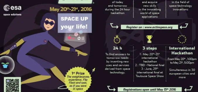
ActInSpace: The Space Technology Challenge
Airbus Defence and Space is partnering with the French and European space agencies (CNES and ESA*) to organise ActInSpace. ActInSpace is a 24-hour contest where anyone can join a team
