
GIS
Climate Change Monitoring: Cube4EnvSec Growing
Nato has launched a new multiyear Science for Peace and Security Programme project named Cube4EnvSec which aims at exploiting Big Earth Datacube Analytics for transnational security and environment protection. Its

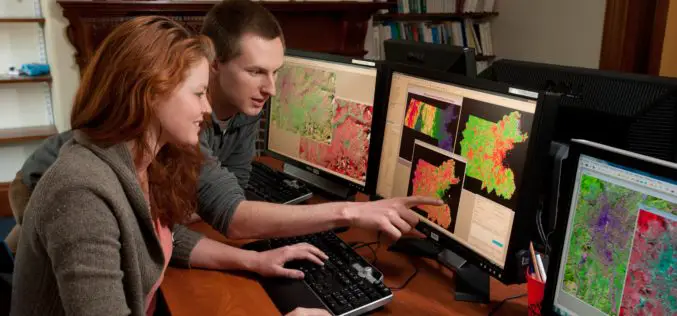
5 Necessary Skills for a Successful GIS Career
Going into the field of geospatial and mapping sciences may seem like a daunting task, but with the right skills, it can be a rewarding career. Whether you are new

Job Opportunities for GIS Supervisor and GIS Analyst at Redlands, CA, USA
1. Geographic Information Systems Supervisor:$92,899.00 – $112,907.00 Annually (Full-time) | Redlands, CA Under general direction, plans and directs the overall Geographic Information System (GIS) activities for the City; oversee City
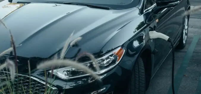
Britain to Utilize Location Data to Support EV Charging Points
Location data is a key component of the EV charging process. The use of location data to support EV charging points or electric vehicle chargers is a key part of

Tamil Nadu Pushes Agriculture Budget for Use of AI, Remote Sensing, and Drones
The Tamil Nadu (India) Agriculture State Budget for 2022-23 emphasizes the use of technology such as IoT, Artificial Intelligence, Drones, and Remote Sensing, as well as a role for industries
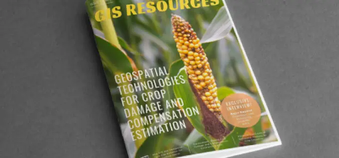
GIS Resources Magazine (Issue 1 | March 2022): Geospatial Technologies for Crop Damage and Compensation Estimation
GIS Resources is pleased to announce the publication of its 1st edition (March 2022) of the print and digital magazine. The edition titled “Geospatial Technologies for Crop Damage and Compensation Estimation.”

Geospatial Buzz in Chennai: to Fight Crime and Criminal and to Map Public Utilities
Chennai city (India) is in the news for the implementation of geospatial technologies to fight crime & criminal and to map public utilities. Geospatial technologies are playing an increasing role
Esri India Young Scholar Contest (2022) for Indian Scholar to Showcase GIS Project
Esri India is hosting an open contest for Indian Young Scholars 2022, to identify the one who will be able to showcase a GIS Project in front of a live

Give Away! 3 WingtraOne Drones for Projects that would contribute to the Good of the World
If you are someone inspired to complete a project that would contribute to the good of the world, here is your chance to win a WingtraOne GEN II drone. Wingtra
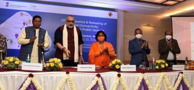
Rural Connectivity GIS Data is Now Available in the Public Domain
Shri Giriraj Singh, the Union Minister for Rural Development and Panchayati Raj, Government of India, has made the Rural Connectivity GIS Data available to the public. This comprises GIS data
