
GIS
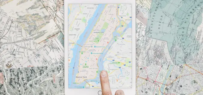
How to Open a Geospatial Company?
Are you a geospatial enthusiast looking to turn your passion into profit by starting a successful business? Starting and running any company is an ambitious endeavor that often comes with

Benefits of Geospatial Data in Driving Analytics
Geospatial data has become an indispensable asset in today’s increasingly data-centric era, providing businesses, governments, and researchers alike with invaluable resources for making strategic decisions and driving transformation across multiple
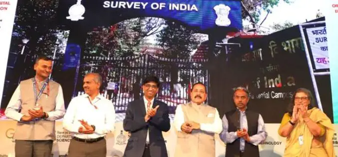
Union Minister Dr. Jitendra Singh Launches CORS Network Operated by Survey of India
In a significant stride towards bolstering India’s geospatial infrastructure, Union Minister Dr. Jitendra Singh inaugurated the nationwide CORS network operated by Survey of India. The cutting-edge initiative, known as the

FAIRiCUBE Goes IGARSS
Inspiring days we had: The FAIRiCUBE team is looking back to a successful participation at this year’s International Geoscience and Remote Sensing Symposium (IGARSS), which took place in Pasadena, California,
USGIF Announces Stand-up of Space Situational Awareness Working Group
The United States Geospatial Intelligence Foundation (USGIF) has announced the stand-up of a new working group focused on Space Situational Awareness. This new working group aims to inform and educate the global
Geospatial Imagery Analytics Market is Expected to Reach USD 50 Bn By 2032
The Geospatial Imagery Analytics Market is set to grow from its current market value of more than $6 billion to over $50 billion by 2032; as reported in the latest
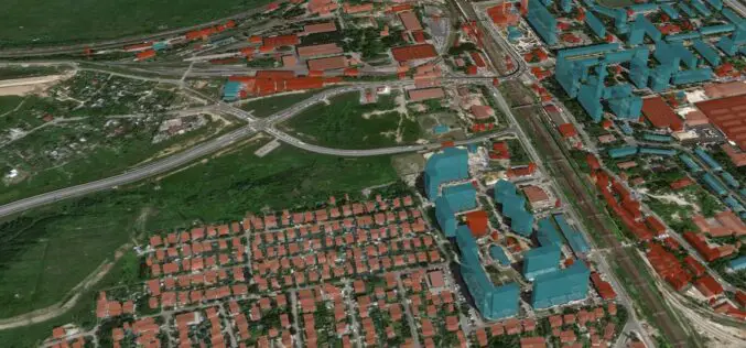
GeoAlert Unveils Latest AI Models for Building Footprints Customized to Specific Regions
GeoAlert has released new AI models for Building footprints customized to region-specific and unified them under the single Buildings pipeline. Currently, there are 3 global regions and 3 corresponding Building segmentation
New Digital Map of Underground Pipes and Cables for the United Kingdom
Ordnance Survey, the national mapping agency for Great Britain, has partnered with Atkins, 1Spatial, GeoPlace, and the Greater London Authority (GLA) to support the release of a new digital map
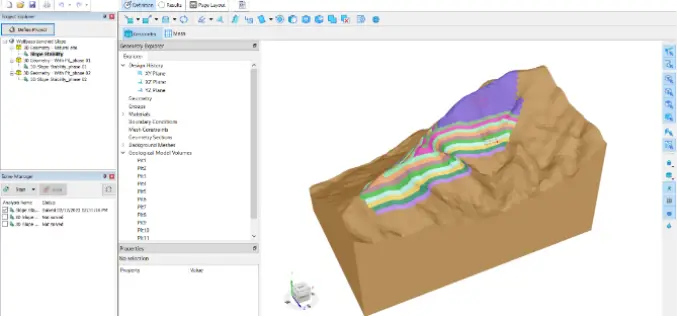
SLOPE3D: Advanced Slope Stability Analysis Tool for Safer Engineering Design
The Bentley Subsurface Company has unveiled SLOPE3D, a state-of-the-art tool for analyzing slope stability that enables geotechnical engineers and engineering geologists to design safer slopes. SLOPE3D is an upgraded version

Mussoorie Dehradun Development Authority Embraces Technology: Digital Master Plan for Dehradun Until 2041
The Mussoorie Dehradun Development Authority (MDDA) has prepared a digital master plan for Dehradun till the year 2041. The master plan is a blueprint for the city’s development, and it
