Business
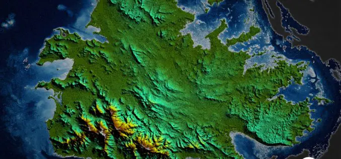
TCarta Delivers Satellite-Derived Land/Sea Floor Surface Models for Caribbean Disaster Recovery
BRISTOL, United Kingdom, 17 April 2018 – TCarta, a global provider of marine geospatial products, has delivered pre- and post-disaster surface models for the Caribbean islands of Antigua and Barbuda
LizardTech to Launch GeoExpress 10 with Expanded LiDAR Functionality at GEOINT 2018
SEATTLE, Wash. — April 17, 2018 — LizardTech®, a provider of software solutions for managing and distributing geospatial data, will launch Version 10 of its GeoExpress data manipulation and compression software at the
Voxxlr 1.0 Has Been Released!
March 06, 2018 – Voxxlr is a cloud based service to store, analyze and share large 3D point clouds entirely online. After years of development, version 1.0 has now been released. A
Cyient And Bluebird Aero Systems Sign Joint Venture to Offer UAV Systems to Indian Defence And Industry
The JV underlines the commitment of both partners to the ‘Make in India’ initiative and will supply advanced micro, mini, and tactical UAV systems Chennai/Hyderabad, India and Kadima, Israel, April
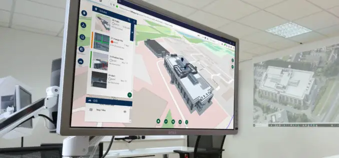
New 3D Repo Version Adds the Latest BCF Support and Further GIS Integration
London, 27 March 2018 – 3D Repo has released a new version of its cloud-based BIM platform that allows users to simultaneously access, via the web, the latest 3D construction models,
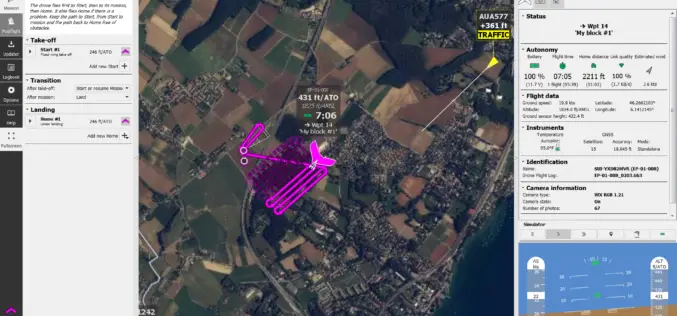
senseFly takes drone flight planning & management to next level with release of eMotion 3.5
The company’s acclaimed software—supplied with every senseFly drone—now includes CN and ES language support, integration with Agisoft PhotoScan, improved resume mission functionality and a new live air traffic data option
Sentera Integrates High-Precision AGX710 Sensor with Dji Matrice 200 Series Industrial Drones
Seamless Digital Solutions, From Field to Action March 28, 2018 – Sentera today announced the immediate availability of the Sentera AGX710 gimbaled precision agriculture sensor with plug-and-play integration for DJI’s
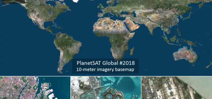
PlanetObserver Announces Release of PlanetSAT Global Imagery Basemap Version #2018
Clermont-Ferrand, France – 27 March 2018 – PlanetObserver, provider of geospatial data for civil and military solutions, announces the release of the most up-to-date global mosaic processed with recent and
MDA to Provide RADARSAT-2 Information to Meet Critical and Complex Challenges for Land and Maritime Monitoring
March 26, 2018 – Richmond, BC – MDA, a Maxar Technologies company (formerly MacDonald, Dettwiler and Associates Ltd.), (NYSE: MAXR; TSX: MAXR), announced today it has recently signed multiple geospatial-related


