

Business

PDF3D Announces Support for macOS Sierra
Advanced 3D PDF authoring software suite supports the latest Macintosh® OS release. London, UK, October 27th, 2016 – PDF3D, from Visual Technology Services, today reaffirmed its commitment to Apple technology

IBM and Esri Team Up to Offer Cognitive Analytics and IoT in the IBM Cloud
Redlands, California—At this year’s IBM World of Watson event in Las Vegas, global smart mapping leader Esri announced that it now works with IBM users and developers to broaden the

OGC Requests Comments on Proposed Quality of Service and Experience DWG
The Open Geospatial Consortium (OGC®) requests comments on the charter for a proposed Quality of Service and Experience (QoSE) Domain Working Group (DWG). Spatial data now plays a critical role

Sanborn Completes Kentucky County Aerial Project
Delivers Ortho and Oblique Imagery on Time to Boone County GIS Colorado Springs, Colo. (Oct. 24, 2016)—The Sanborn Map Company, Inc. (Sanborn) has completed a project for Boone County GIS
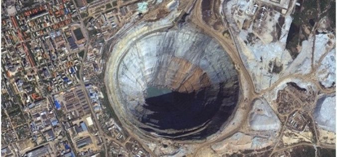
PhotoSat Verifies the Accuracy of Survey Data From the New KOMPSAT-3A Satellite to 21cm in Elevation
VANCOUVER, British Columbia, Oct. 24, 2016 /PRNewswire/ — PhotoSat is pleased to announce that the survey data processed from the new 40 centimeter resolution satellite, KOMPSAT-3A, has been verified as
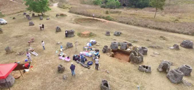
Archaeologists Use Drones to Build 3D Virtual-Reality Map
Archaeologists at The Australian National University (ANU) and Monash University are conducting a trial of new technology to build a 3D virtual-reality map of one of Asia’s most mysterious sites

Centrik Helps Business Take Off for Self-regulating UAS Operators
UAS operators concerned by growing calls over regulation of the sector can now hold the key to successful self-regulation, thanks to operational management system Centrik. Already used by airlines, operators,

Agricultural Cooperative in Malaysia Manages Spatial Data with SuperGIS Desktop
The worldwide geospatial solution and GIS software provider, Supergeo Technologies Inc., is proud to announce that an agricultural cooperative in Malaysia has recently selected SuperGIS Desktop to manage spatial data.
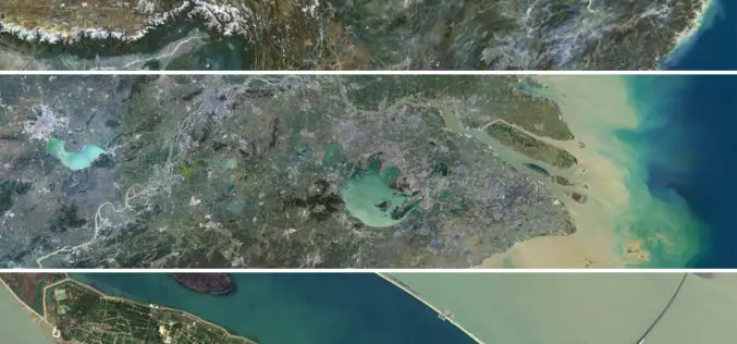
Release of PlanetSAT 15 L8 imagery Basemap of Asia by PlanetObserver
Clermont-Ferrand, 12 October 2016 – The French company PlanetObserver, specialized in imagery basemap production for more than 25 years, announced today the coverage of Asia with PlanetSAT 15 L8 basemap,

Boost Fieldwork Productivity with Latest SuperSurv 3.3
Supergeo Technologies Inc. has recently improved and released the latest version of SuperSurv, the leading mobile GIS software. Developed and maintained by the product team for years, SuperSurv is one
