

Business

DigitalGlobe to Announce Second Quarter Financial Results on July 28, 2016
WESTMINSTER, Colo.–(BUSINESS WIRE)–Jul. 14, 2016– DigitalGlobe, Inc. (NYSE: DGI), a leading global provider of commercial high-resolution earth observation and advanced geospatial solutions, will announce its second quarter 2016 financial results

PDF3D V2.13 Release Targets Engineering and Manufacturing Workflows in 3D
3D PDF conversion software leaders, PDF3D, today announce V2.13, a major update for their entire suite of products including PDF3D SDK, XML Server, ReportGen and PV+. ReportGen users can expect
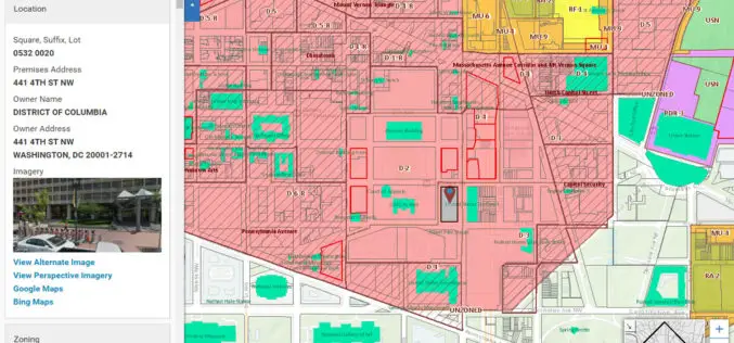
Blue Raster Incorporates Esri Technology into DC Office of Zoning Map
Constituents Can Leverage Open Data through Mobile Devices for Easy Access to Detailed Zoning and Planning Information Redlands, California—Esri has announced that the Washington, DC, Office of Zoning (DCOZ) has released

Fifteen Years of Disaster Relief From Space – Global Patterns and Trends
14 July 2016 – Today, the analysis and use of satellite images is commonplace. Just 15 years ago, however, only a handful of specialists worked with these valuable data. Since then,
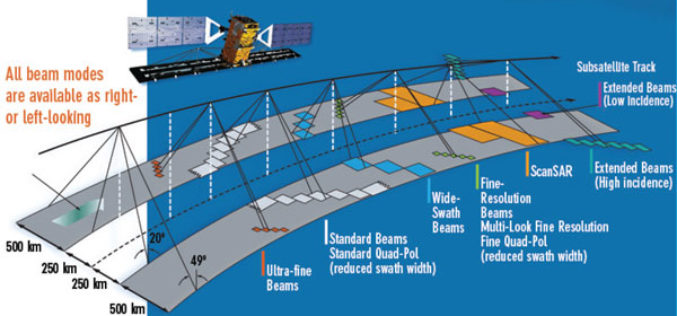
EMSA Expands Use of RADARSAT-2 Information for Maritime Applications
Richmond, BC – MacDonald, Dettwiler and Associates Ltd. (“MDA” or the “Company”) (TSX: MDA), a global communications and information company, has recently (July 13, 2016) announced that it has signed

25 Years Ago – Europe’s First Earth Observation Satellite Was Launched
• First European radar satellite ERS-1 revolutionised satellite Earth observation by revealing never before seen details • ERS satellite programme laid the foundations for modern radar satellite technology and applications

Geographic Calculator 2016 Now Supports Petrel Database Files
Blue Marble Geographics is pleased to announce the immediate availability of Geographic Calculator 2016 Service Pack 1 (SP1). This intermediate release includes array of functional upgrades, usability improvements, and new
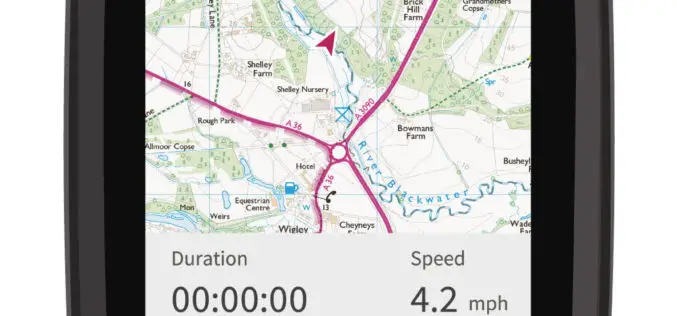
CompeGPS and Ordnance Survey Team Up to Produce the ‘OS Range of GPS Units’
Ordnance Survey (OS) and CompeGPS are pleased to announce a new partnership to release a range of outdoor activity GPS units. The exciting move is being made ahead of the leading
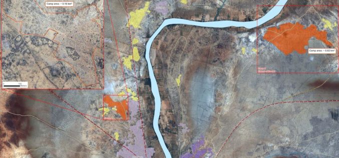
Technologies for Humanitarian Assistance
The German Aerospace Center (Deutsches Zentrum für Luft- und Raumfahrt; DLR) has been actively involved in humanitarian aid for many years. Alongside government partners, the private sector and scientific institutions,

Enhanced Imagery, Modelling, Volumes Improve Productivity With LISTECH Neo
LISTECH, a Hexagon Geosystems brand, today announced increased functionality to its new geospatial software Neo, with terrain modelling, volume calculation and imagery offerings. With an integrated 3D/2D environment for viewing
