

Remote Sensing
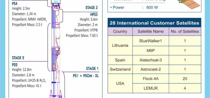
PSLV-C45 Successfully Launches EMISAT and 28 Customer Satellites
India’s Polar Satellite Launch Vehicle (PSLV-C45) today successfully launched EMISAT and 28 international customer satellites from Satish Dhawan Space Centre (SDSC) SHAR in Sriharikota. This flight marked the first mission
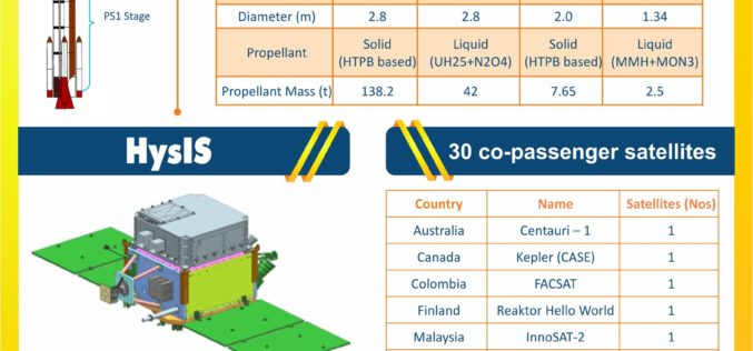
India Successfully Launches Hyper-Spectral Imaging Satellite (HysIS)
Nov 29, 2018 – ISRO – Today, the Indian Space Research Organisation’s (ISRO) Polar Satellite Launch Vehicle (PSLV-C43) successfully launched 31 satellites from Satish Dhawan Space Centre (SDSC) in Sriharikota. The
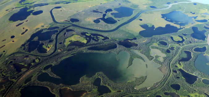
Thawing Arctic in Radar View – Permafrost Monitoring with Latest Radar Technology in German-Canadian Cooperation
September 17, 2018 – DLR German Aerospace Center, Germany – Scientists from the German Aerospace Center (Deutsches Zentrum fuer Luft- und Raumfahrt; DLR) Microwaves and Radar Institute are developing special
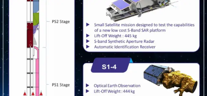
Indian Space Research Organisation (ISRO) Successfully Launches NovaSAR and S1-4 Satellite
Sriharikota, Andhra Pradesh, India – Sep 16, 2018 – The Polar Satellite Launch Vehicle (PSLV-C42) of Indian Space Research Organisation (ISRO) today (16 Sept 2018, Sunday) successfully launched two satellites — NovaSAR
SwRI Investigates New Techniques To Estimate Groundwater Recharge
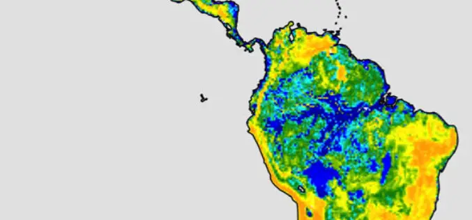
August 22, 2018 — Southwest Research Institute scientists are investigating using the latest remote-sensing technology to assess groundwater recharge more accurately. This information is critical for water resource managers, especially
China Launches Two Satellites for Pakistan
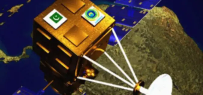
Beijing, Jul 9, 2018 (PTI) – China has successfully launched two remote sensing satellites for Pakistan, marking the first international commercial launch for the Long March-2C rocket in about 19 years.

Belarus, Russia, Kazakhstan to Make Space Satellites Together
MOSCOW, 25 May (BelTA) – Belarus, Russia, and Kazakhstan have come to terms on manufacturing cooperation for making satellites for the remote sensing of Earth. The decision was made at
JAXA Successfully Deployed First Kenyan Satellite
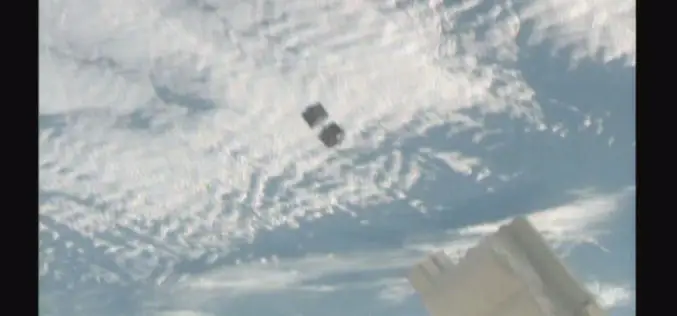
Successful Deployment of First Kenyan Satellite, selected as First KiboCUBE programme of UNOOSA and JAXA JAXA, UNOOSA – On May 11, 2018, the first CubeSat developed under the KiboCUBE programme has been successfully
Studying Soil Erosion from Space
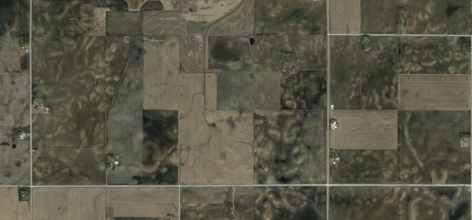
Geologist and geochemist Isaac Larsen at the University of Massachusetts Amherst has a grant from NASA to study soils in a whole new way, from space. Isaac Larsen is an

Copernicus Satellite Data for Cultural Heritage Monitoring and Preservation
The free and open data and information delivered by the Copernicus programme represents a valuable resource for Cultural Heritage monitoring and preservation at European and global level. The data and
