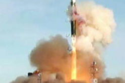
Beijing, Jul 9, 2018 (PTI) – China has successfully launched two remote sensing satellites for Pakistan, marking the first international commercial launch for the Long March-2C rocket in about 19 years.
The satellites -PRSS-1 and PakTES-1A were launched from the Jiuquan Satellite Launch Center in northwest China at 11:56 am.
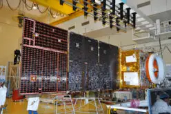
The PRSS-1 is China’s first optical remote sensing satellite sold to Pakistan and the 17th satellite developed by the China Academy of Space Technology (CAST) for an overseas buyer.
scientific experiment satellite, PakTES-1A, developed by Pakistan, was sent into orbit via the same rocket.
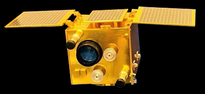
PakTES 1A [SUPARCO]

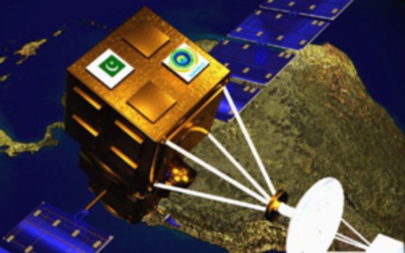
An unknown artist’s conception of Pakistan’s PRSS-1. Image source is unknown.
This is another space cooperation between China and Pakistan since the launch of PAKSAT-1R, a communication satellite, in August 2011, the state-run Xinhua news agency reported.
The PRSS-1 will be used for land and resources surveying, monitoring of natural disasters, agriculture research, urban construction and providing remote sensing information for the Belt and Road region.
Today’s launch is the 279th mission of the Long March rocket series.
It is also the first international commercial launch for a Long March-2C rocket in nearly two decades after it carried Motorola’s Iridium satellites into orbit in 1999.
About PRSS-1: The Pakistan Remote Sensing Satellite (PRSS-1), commercially known as Remote Sensing Satellite System (RSSS), is a dual-purpose Earth observational and optical satellite. Pakistan Remote Sensing Satellite (PRSS-1) will make Pakistan self-reliant in multi-spectral imaging. Remote sensing satellite will have multiple benefits and practical applications, including agriculture, disaster management, urban planning, forestry, water management, weather forecast and other areas.
About PakTES 1A: PakTES 1A (Pakistan Technology Evaluation Satellite) is a 300 kg low to medium resolution earth observation remote sensing satellite indigenously developed by Pakistan’s SUPARCO but with much of the payload subcontracted to South Africa’s Space Advisory Company.
A second satellite, PakTES 1B, is in the early stages of development.