
Videos
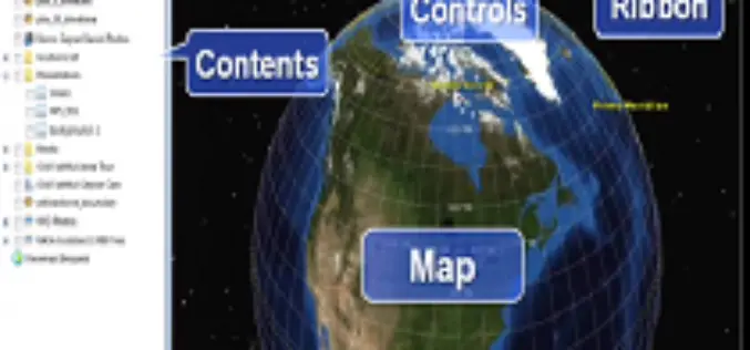
ArcGIS Explorer Quick Start Tutorial
In this seminar, we’ll overview what ArcGIS Explorer is, and what you can do with it. We’ll talk about how you install it, and things to check before you begin.

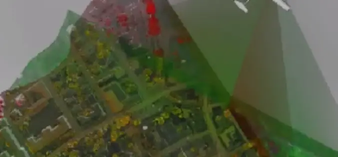
ArcGIS – ArcScene – 3D
ArcScene is a 3D visualization application that allows you to view your GIS data in three dimensions. ArcScene allows you to overlay many layers of data in a 3D environment.
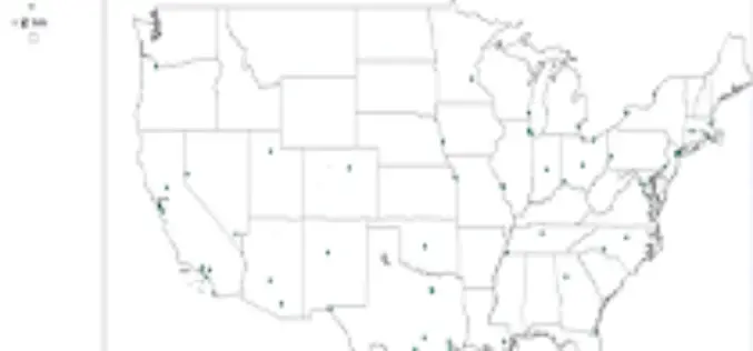
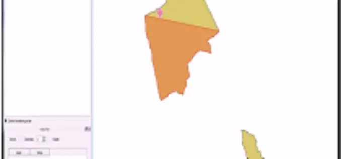
Using ArcMap 10 to join Excel data with a shapefile
This video uses the join method to add user created data from an Excel file to a shapefile of airport locations
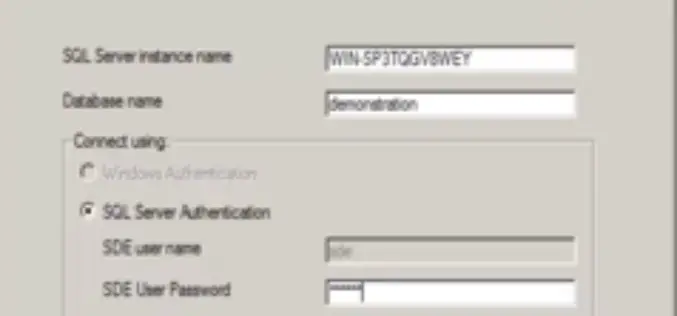
Installation of ArcSDE 10 on SQL Server 2008 R2
Installation of ArcSDE 10 on SQL Server 2008 R2

What’s New in ENVI 5.1
This video highlights new functionality available in the latest release of the ENVI Platform including ENVI 5 SP3, ENVI LiDAR 3.2 SP1, ENVI Services Engine 1.0.1, and IDL 8.2.3

Learn & Adopt GIS
This video is compiled in Public interest to make aware about GIS technology and how it can benefit common men. This video is compiled by United-Partners Consulting & Solutions LLP,
USGS WindFarm Mapping tool
A tutorial by USGS scientist Chris Garrity demonstrating how to use the WindFarm Mapping tool.
AutoTrace plugin for QGIS
AutoTrace is a plugin for QGIS that allows you to trace existing features. The AutoTrace plugin is based on the trace Digitize plugin by Cédric Möri and others.

The Bombay Greenway Project
Turning the railway into a greenway… The Railway in Bombay defines the linear city & dictates how 7 million people travel daily! The Railway into Greenway proposal envisions a 21st
Introducing a New Era in Airborne Mapping: The New RIEGL LMS-Q
The fully integrated RIEGL LMS-Q1560 ultra wide area airborne mapping system: Providing up to 800kHz PRR and 530,000 points/sec on the ground it can be used at up to 15,500
