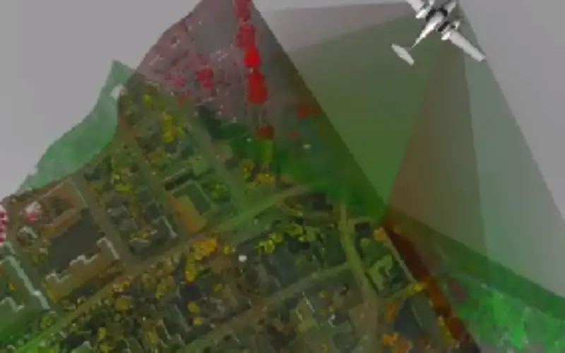
The fully integrated RIEGL LMS-Q1560 ultra wide area airborne mapping system: Providing up to 800kHz PRR and 530,000 points/sec on the ground it can be used at up to 15,500 feet AGL. Operation at varying altitudes allows for surveying ultra-wide areas as well as complex urban environments.
The LMS-Q1560’s unique, innovative forward/backward and nadir-looking capability enables the most accurate data capture from multiple angles, resulting in the best point spacing on the ground. Additional sensors like medium-format or IR camera can easily be integrated into the compact single-unit design suited also for gyro-stabilised levelling mounts.
Categories:
Videos
Tags:
RIEGL LMS-Q