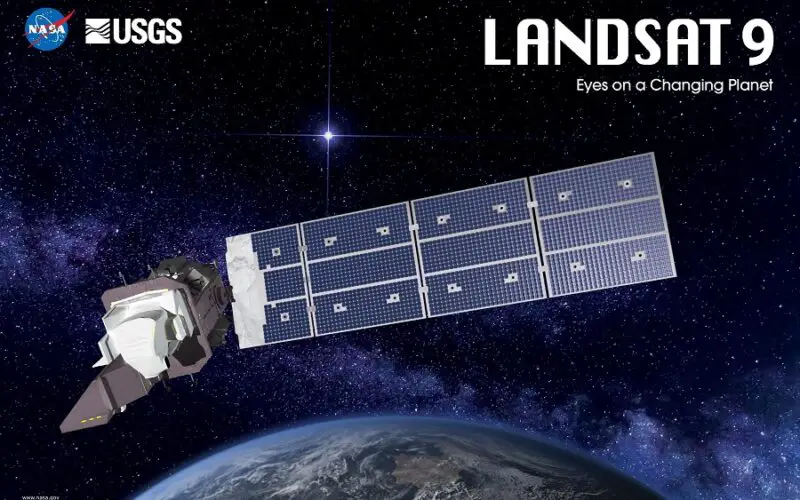
On September 27, 2021, NASA successfully launched Landsat 9 satellite from Vandenberg Space Force Base using an Atlas V rocket. In the Landsat series of satellites, the Landsat 9 satellite will be the most powerful.
Landsat 9 and Landsat 8 will have an 8-day temporal resolution. This is accomplished by placing Landsat 9 in an orbit that is 8 days out of phase with Landsat 8 in order to expand the temporal coverage of observations.
Landsat 9 will replace the aging Landsat 7 and will last at least 5 years in orbit. Landsat 9 essentially repeats its predecessor Landsat 8 to reduce development time and the danger of a gap in observations.
The first 100 days after a Landsat satellite launch are considered as the “Commissioning Phase,” which assures that the spacecraft has reached and maintained proper orbit, that communications to and from the satellite are successful, and that the satellite’s sensors are functioning normally. After ensuring all checks data products acquired by Landsat 9 sensors – the Operational Land Imager 2 (OLI-2) and the Thermal Infrared Sensor 2 (TIRS-2) were made available from early February 2022 through USGS ErathExplorer , Machine to Machine (M2M), and LandsatLook.
Also, Read – How to Download Landsat Satellite Data?
These instruments/sensors will give crucial information to Landsat 9 users on agricultural health, irrigation use, water quality, wildfire severity, deforestation, glacial retreat, urban expansion, and other topics.
Landsat 9 Satellite Data Products
Landsat 9 satellite data is processed into the Landsat Collection 2 inventory structure in the WRS-2 path/row system, with swath overlap (or sidelap) ranging from 7% at the Equator to around 85 percent at extreme latitudes.
Landsat 9 can gather up to 750 scenes each day, while Landsat 8 will add almost 1,500 new scenes to the USGS Landsat archive per day. Landsat 9 will expand the USGS record by imaging all global landmasses and nearshore coastal zones, including islands with solar elevation angles larger than 5 degrees, which were not always routinely collected before Landsat 8.
Also, Read – All About Landsat 9 Satellite – Latest and Powerful Satellite in the Landsat Series
Following types of USGS Landsat 9 data products are now available for download from USGS EarthExplorer–
- Landsat 8-9 OLI/TIRS Collection 2 Level-2 Science Products (L2SP) – The L2SP includes Surface Reflectance and Surface Temperature scene-based products.
- Landsat Collection 2 U.S Analysis Ready Data (ARD) Product – The product contains Top of Atmosphere (TOA) reflectance, TOA Brightness Temperature (BT), Surface Reflectance (SR), Surface Temperature (ST), and Quality Assessment (QA) data.
- Landsat 8-9 LI and TIRS Collection 2 Level-1 Data Product – Landsat 8-9 Operational Land Imager (OLI) and Thermal Infrared Sensor (TIRS) Collection 2 Level-1 15- to 30-meter multispectral data.
Reference – USGS