 As people get more dependent on making use of spatial information in our daily lives, it appears to be even more important to think about how to manage and share it more efficiently. Unlike other ordinary data, spatial data often includes several kinds of files; each contains different information, such as attributes, geometry, and the projection, etc. According to that, it is more complicated to store and manage these files.
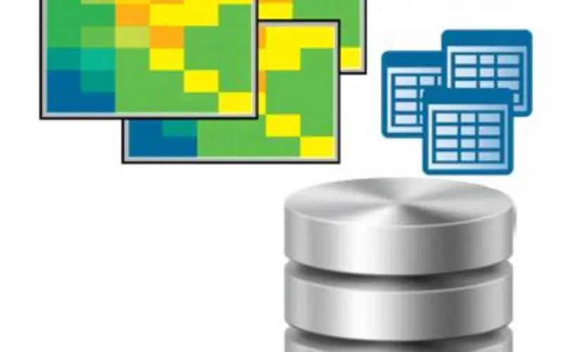
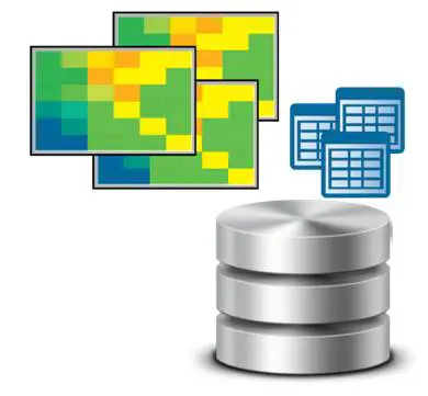
As a global leading GIS software provider, Supergeo develops SuperGIS Desktop, which is multifunctional GIS software and supports a wide variety of spatial databases, including Access MDB, SQL Server, Oracle Spatial and PostgreSQL. By saving spatial data to the database, users are able to view, utilize, and share their data more conveniently and quickly. After saving data to the database, users are allowed to keep and read their files in a more organized and efficient way. Additionally, online users from different ends can access and share the same data, adding more value to it.
Recently, Supergeo has released a maintained version of SuperGIS Desktop 3.3. Besides integrating with the spatial database more smoothly, this new version has optimized many functions as well. For instance, the improvement of the way to generate map tiles enables users a perfect presentation of the map tiles under all scales. Also, the betterment of “Joins” and “Relates” functions make it simpler for querying data. Furthermore, for network analysis, the new version includes the on-the-fly projection of visiting points, which will save a lot of time for converting the projection. All these great features can be experienced by download the free trial of SuperGIS Desktop 3.3 right away!
Download the latest version of SuperGIS Desktop 3.3:
http://www.supergeotek.com/download_6_desktop.aspx
Share your user experience and suggestions with us:
staff@supergeotek.com