Supergeo Technologies Inc. announces that the Geological Survey of Israel utilizes SuperGIS Desktop and extensions such as Spatial Analyst, Spatial Statistics Analyst and 3D Analyst, to enhance the efficiency of its geological and earth science research.
Geological Survey of Israel (GSI), founded in 1949, is a government institute operating under the Earth Science Research Administration. The objectives of the GSI is to maintain the national earth sciences data base and analytical infrastructure.
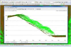
SuperGIS Desktop is designed to assist GIS users in their daily geospatial tasks with better analysis tools at an affordable price. With useful analyst extensions, GSI researchers are able to process their geospatial data with ease.
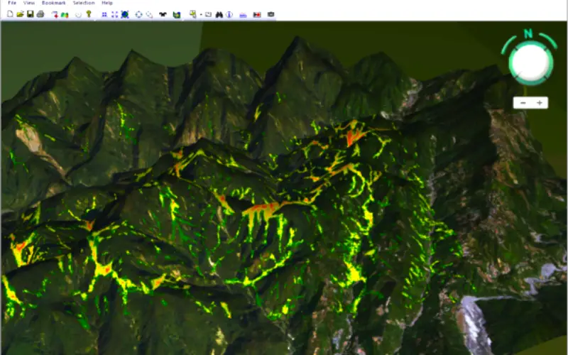
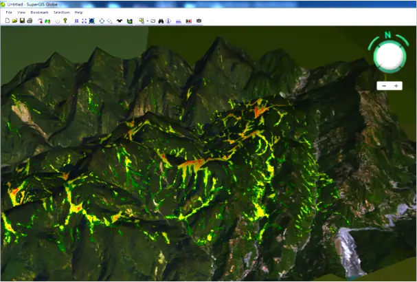
The enhanced SuperGIS 3D Analyst enables users to display raster and feature data in a 3D environment, making the result look more realistic. It also supports graphic engines like OpenGL and DirectX, allowing users to display their data in a smoother way. The whole new 3D environment and intuitive user interface within SuperGIS Desktop 3.3 not only helps users get the hang of using GIS but also supports terrain models, building in visualization to helpmap viewers comprehend with little effort.
Get free trial of SuperGIS Desktop and Analyst Extensions
http://www.supergeotek.com/download_6_desktop.aspx
Join SuperGIS Webinar to understand a comprehensive forestry workflow with GIS
http://www.supergeotek.com/support_ComingWebinars.aspx?Type=Upcoming&ID=1535
# # #
About Supergeo
Supergeo Technologies Inc. is a leading global provider of GIS software and solutions. Since the establishment, Supergeo has been dedicated to providing state-of-the-art geospatial technologies and comprehensive services for customers around the world. It is our vision to help users utilize geospatial technologies to create a better world.
Supergeo software and applications have been spread over the world to be the backbone of the world’s mapping and spatial analysis. Supergeo is the professional GIS vendor, providing GIS-related users with complete GIS solutions for desktop, mobile, server, and Internet platforms.