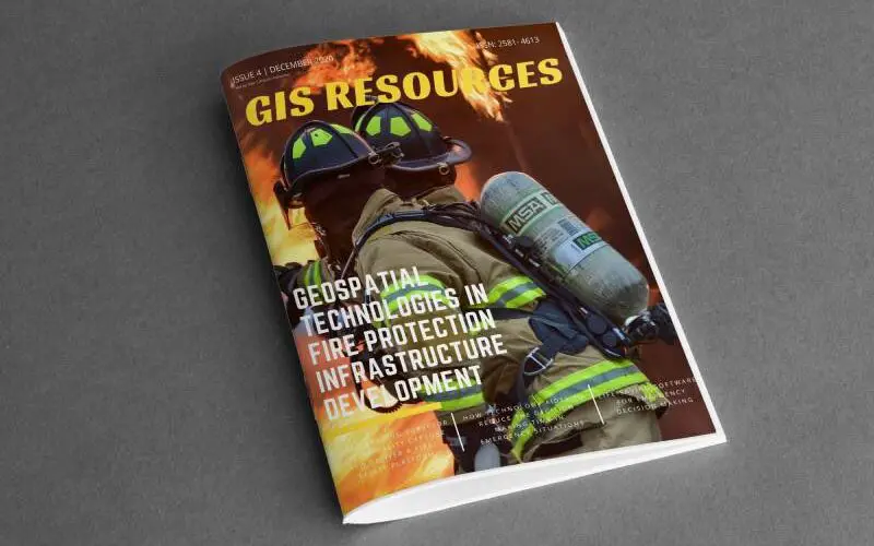
GIS Resources Magazine (Issue 4 | December 2020): Geospatial Technologies in Fire Protection Infrastructure Development

GIS Resources is pleased to announce the release of its 4th edition (December 2020) of the print and digital magazine. The edition titled “Geospatial Technologies in Fire Protection Infrastructure Development” focuses on the role of geospatial technologies in the development of fire protection infrastructure development.
Fire can be both a boon and a bane. As a boon, it is vital in supporting life. It is a bane when, out of control, it destroys life and property. More often than not, we hear about the adverse effects of fire. It is more in the news because of an electrical short circuit, leading to loss of life and livelihood. Climate change is also taking its toll in the form of huge forest fires, leading to loss of life and livelihood as well as the loss of vital habitat for flora and fauna.

Geospatial Technology can provide vital data and information to prevent and mitigate incidences of fire. Creating the necessary infrastructure, training and ensuring its widespread adoption will make it more effective.
This quarterly issue attempts to give balanced information on how geospatial technologies are used in various domains of life for fire protection.
Following are the articles published in this issue:
- China’s Leading Surveyor Uses 3d Reality Capture to Deliver a Fire Safety Platform by NavVis GmbH
2. Life-Saving Software for Emergency Decision Making by Pix4D
3. How Technology Aides to Reduce the Decision Making Time in Emergency Situations by Pix4D
4. GNSS Helps Ensure a Bumper Crop by John Stenmark Writer and Consultant


