Isro to Launch Cartosat-2 Series Satellite Mission : Scheduled on June 22, 2016
India’s Polar Satellite Launch Vehicle, in its thirty sixth flight (PSLV-C34), will launch the 727.5 kg Cartosat-2 series satellite for earth observation and 19 co-passenger satellites together weighing about 560 kg at lift–off into a 505 km polar Sun Synchronous Orbit (SSO). PSLV-C34 will be launched from the Second Launch Pad (SLP) of Satish Dhawan Space Centre (SDSC) SHAR, Sriharikota on June 22, 2016 at 09:25 hrs (IST). It will be the fourteenth flight of PSLV in ‘XL’ configuration (with the use of solid strap-on motors).
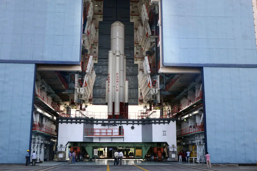
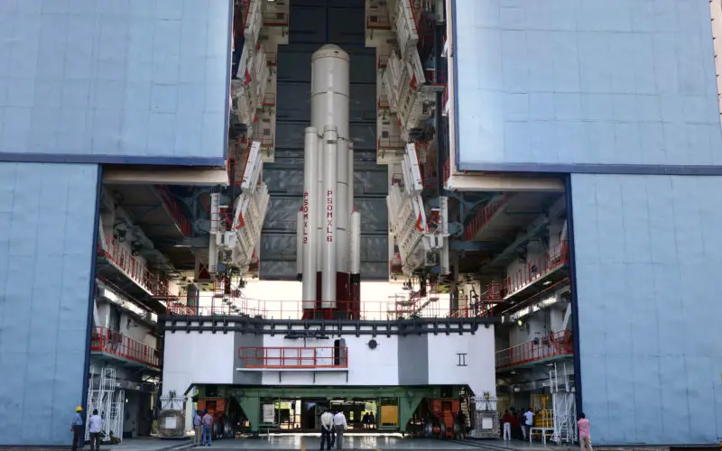
PSLV-C34 first stage integration in progress. Credit: ISRO
The co-passenger satellites are from USA, Canada, Germany and Indonesia as well as two satellites from Indian University/Academic Institute. The total weight of all the 20 satellites carried onboard PSLV-C34 is about 1288 kg.
The Cartosat-2 series satellite is the primary satellite carried by PSLV-C34. This satellite is similar to the earlier Cartosat-2, 2A and 2B. After its injection into a 505 km polar Sun Synchronous Orbit by PSLV-C34, the satellite will be brought to operational configuration following which it will begin providing regular remote sensing services using Panchromatic and Multispectral cameras.
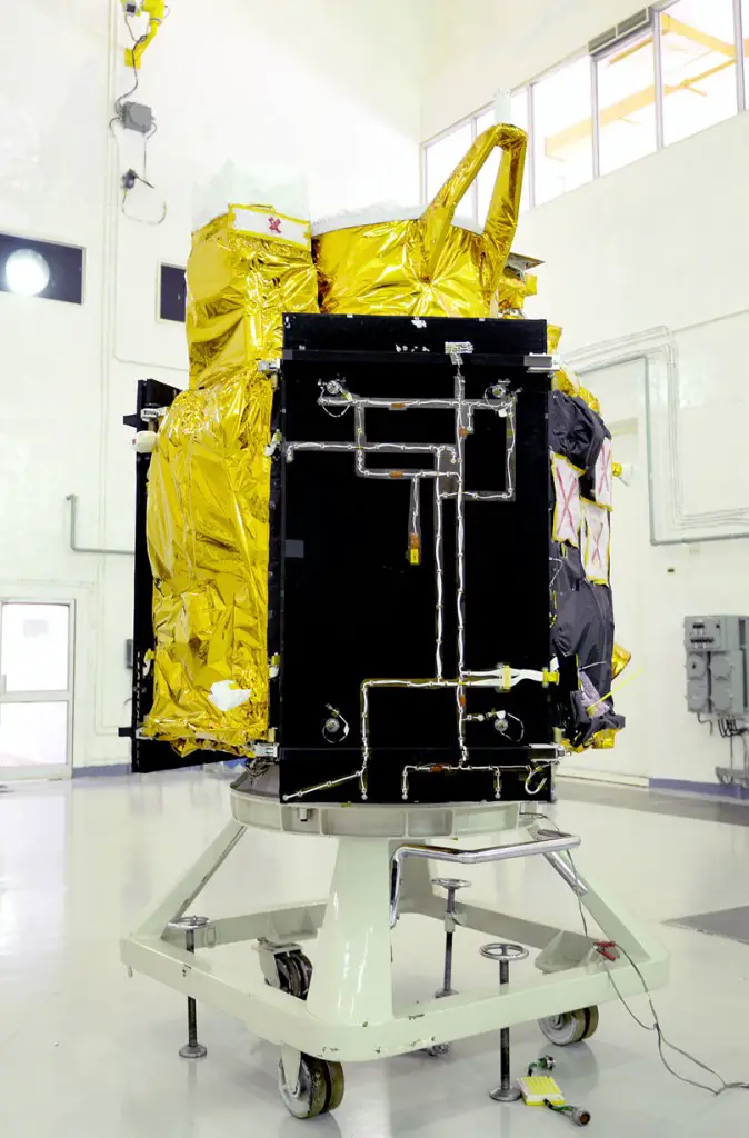
Cartosat-2 Series Satellite in clean room at Sriharikota. Credit: ISRO
The imagery sent by the satellite will be useful cartographic applications, urban and rural applications, coastal land use and regulation, utility management like road network monitoring, water distribution, creation of land use maps, precision study, change detection to bring out geographical and manmade features and various other Land Information System (LIS) and Geographical Information System (GIS) applications.
Source: ISRO