
Tag "remote sensing"
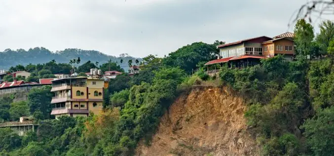
£1M Remote Sensing Project to Combat Landslide Risks in the Himalayas
A £1M research initiative, SUPERSLUG, is set to address landslide risks in the Himalayas, using advanced remote sensing and geo-technology to mitigate the long-term impacts of sediment movement on landscapes
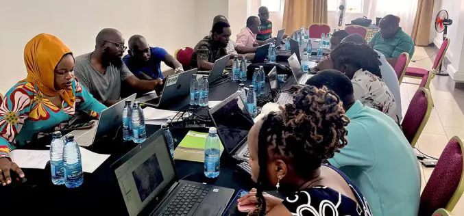
USGS Uses Remote Sensing for Groundwater Mapping in Kenya
Groundwater mapping in Kenya has received a major boost through the use of remote sensing technologies, spearheaded by the U.S. Geological Survey (USGS), USAID, and Northern Arizona University. Remote sensing

From Desert to Orbit: UAE Unveils First SAR Satellite
The UAE successfully launched its first Synthetic Aperture Radar (SAR) satellite on August 16, 2024, as part of its Earth Observation Space Program. This satellite, developed through a collaboration between
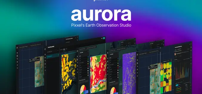
Pixxel Launches “Aurora” Designed to Simplify Satellite Data Analysis
Pixxel, a Bengaluru-based space tech startup, has launched “Aurora,” an advanced Earth Observation (EO) Studio designed to revolutionize satellite data analysis. This platform simplifies the traditionally complex process of remote

Harnessing Geospatial Technologies for Wildlife Conservation
Geospatial Technologies for Wildlife Conservation underscores the urgency of wildlife conservation, which has never been more pressing. With rapid habitat loss, climate change, and increased poaching, numerous species face the

How Remote Sensing Helps to Curb Illegal Mining
Illegal mining is a pervasive global issue that poses severe environmental, economic, and social threats. It involves the unregulated extraction of valuable minerals and metals, leading to deforestation, water pollution,

Call for Proposals for Geospatial Technology and Solutions: Impact and Importance for India’s Future
The National Geospatial Programme (NGP) division, formerly NRDMS, calls for proposals in Geospatial Technology and Solutions that have the potential to impact various sectors in India significantly. The National Geospatial
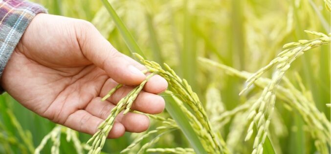
Tamil Nadu Pushes Agriculture Budget for Use of AI, Remote Sensing, and Drones
The Tamil Nadu (India) Agriculture State Budget for 2022-23 emphasizes the use of technology such as IoT, Artificial Intelligence, Drones, and Remote Sensing, as well as a role for industries
How Geospatial Technologies Are Bringing Another Green Revolution In India
By integrating spatial information with data on crops, irrigation, weather, and soil characteristics, researchers can develop models that help farmers optimize their production. In this way, geospatial technologies are bringing another green revolution in India.

Remote Sensing and GIS for Sustainable Forest Management
The data needed for forest management include wood procurement potential, forest cover, growing stock volume, and biomass carbon balance.
