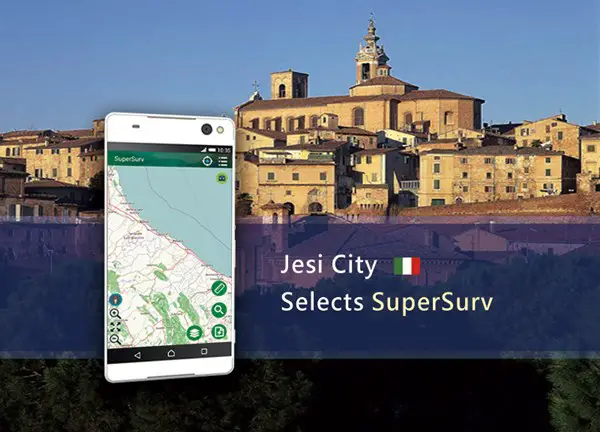
 Supergeo Technologies, the worldwide GIS software and solution provider is pleased to announce that Jesi City selects SuperSurv to collect spatial data.
Located in central Italy, Marche Region, Jesi is a city has around 40 thousands residents, and its history can be traced back to hundred years before Roman Empire. The long history leads to rich heritages from different periods, making Jesi an attractive tourism destination in the nearby region. Therefore, it is important for the city government to digitize these valuable historic buildings and also public properties with geospatial technologies, so the officials can manage them and make plans more efficiently.
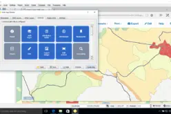
SuperSurv is one of the most popular GIS apps of Supergeo and supports both Android and iOS platforms to serve various users. Unlike general mobile GIS software, SuperSurv has various features that can offer fieldworkers extra convenience like the support for NTRIP, WMS & WMTS, offline editing, and more. By using SuperSurv, officials from the city government can take geo-tagged photos and collect high-precision spatial data with NTRIP service. Thus, the city government can develop different sightseeing routes for tourists or arrange a better schedule for historic buildings maintenance.
In the upcoming SuperSurv 10, Supergeo will include more practical features, such as the support for geospatial PDF, cloud storage space, WFS & WFS-T, and also a new capability called Quick Report. This brand-new product is now in the testing stage and will be released soon. Please stay tuned for our latest news!
Learn more about SuperSurv:
http://www.supergeotek.com/ProductPage_SuperSurv.aspx?Type=Main%20Features
Get a free trial of SuperSurv:
http://www.supergeotek.com/download_6_mobile.aspx