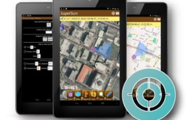
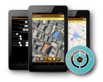
 Receiving high accuracy data is the ultimate goal of fieldworkers and surveyors. Now, two core products of SuperGIS Mobile Series: SuperSurv for Android and SuperPad are all capable of receiving the signal from external GNSS devices. After connecting and matching the smart devices and external GNSS receivers, users can acquire high accuracy data with ease. SuperPad and SuperSurv for Android can fully support and display the location and other detailed information collected by mainstream external GNSS devices, which can meet demands of most fieldworkers.
Except the capability mentioned above, the product team of Supergeo now is also adjusting SuperPad and SuperSurv to work with multiple professional surveying instruments, which are acquired from its hardware partner. Based on the result of field tests, the mobile solution has significantly reduced the signal error and can even reach 50-centimeter precision after the adjustment. When the adjustment of multiple devices is completed, users would have more high accuracy mobile solutions for fieldworks.
The full-featured mobile GIS software developed by Supergeo can assist users to collect, edit, measure, and display spatial data. And the excellent price-performance ratio helps field workers to achieve their goals with a reasonable budget. As the provider of the leading GIS application on Windows Mobile and Android platform, Supergeo always dedicates to developing the finest and most advanced features to the worldwide users. Supergeo cares every comment and feedback from the customers, which will inspire and stimulate the product team to design more powerful capabilities.
The free trials of SuperPad and SuperSurv are now available on the official website of Supergeo. Just feel free to download and share your opinion with Supergeo.
Download free trials of SuperGIS mobile series:
http://www.supergeotek.com/download_6_mobile.aspx
Share your comment with us: staff@supergeo.com.tw