
Kazakhstan Introduces National Geodetic Coordinate System to Enhance Spatial Data Infrastructure
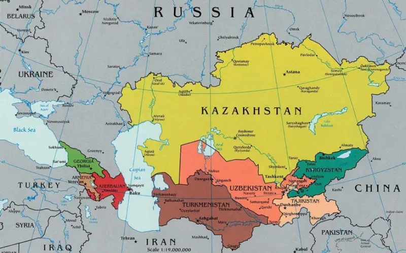
Kazakhstan has launched its National Geodetic Coordinate System to strengthen its spatial data infrastructure, ensuring accurate geospatial information for various sectors, including land management, urban planning, and environmental monitoring.
The new National Geodetic Coordinate System aligns Kazakhstan’s spatial data with international standards, allowing for improved data consistency and better integration with global positioning systems (GPS). This initiative enhances the accuracy of geospatial data, benefiting industries like construction, agriculture, and transportation.
Also Read – Kazakhstan is Planning to Create a National Geographical Information System
By standardizing coordinate reference points across the country, Kazakhstan can now eliminate discrepancies in mapping and land surveys. This is particularly significant for infrastructure projects, real estate development, and disaster response planning.
Strengthening the Geospatial Ecosystem
The National Geodetic Coordinate System is expected to play a crucial role in modernizing Kazakhstan’s geospatial ecosystem. It will support precise surveying, mapping, and remote sensing applications, leading to more effective policy-making, urban growth strategies, and resource management.
Moreover, the system is set to improve national security, environmental protection, and climate resilience efforts. By integrating real-time geospatial data, authorities can better monitor changes in land use, deforestation, and water resources.
Also Read – Belarus, Russia, Kazakhstan to Make Space Satellites Together
A Vision for Sustainable Development
Kazakhstan’s investment in geospatial technologies reflects its commitment to digital transformation and smart governance. The country aims to create a national geospatial framework that aligns with global technological advancements, enabling better decision-making and efficient management of public services.
Additionally, the system’s integration with satellite technologies and global navigation satellite systems (GNSS) will enhance the accuracy of location-based services, benefiting businesses, researchers, and government agencies.
Also Read – Kazakhstan’s EO Satellite KazEOSat-1 Launched Successfully
Kazakhstan’s launch of the National Geodetic Coordinate System marks a milestone in geospatial innovation, setting a strong foundation for sustainable development and enhanced economic opportunities. This initiative ensures that the country remains at the forefront of geospatial advancements, contributing to a more data-driven and connected future.
Source: TV BRICS, Trends New Agency


Without a doubt, the implementation of a geodesic system is the necessary skeleton to create an infrastructure on which the entire modernization of the country is based and key to the development of quality projects in any field of engineering and architecture of its cities.