
Geodesy
Azerbaijan Unveils New WGS-84 Topographic Maps Under Unified Geodetic System
In a significant step toward modernising cartographic data, Azerbaijan has initiated the creation of new topographic maps under the international geodetic standard WGS‑84. According to Lieutenant General Azer Aliyev, Chief
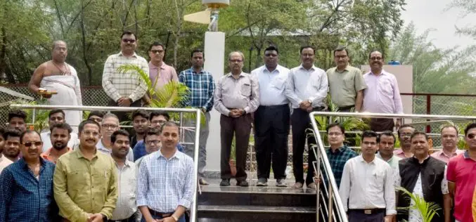
New Regional Center for Geodesy at IIT ISM to Provide High-Precision GNSS Data
In a move to strengthen India’s geospatial research and mapping capabilities, IIT ISM Dhanbad has inaugurated the Regional Center for Geodesy (RCG). This newly established center is aimed at enhancing
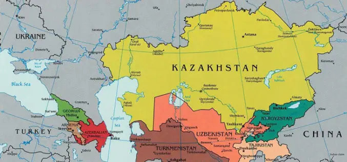
Kazakhstan Introduces National Geodetic Coordinate System to Enhance Spatial Data Infrastructure
Kazakhstan has launched its National Geodetic Coordinate System to strengthen its spatial data infrastructure, ensuring accurate geospatial information for various sectors, including land management, urban planning, and environmental monitoring. The

Nigeria Geodetic VLBI Project: A Leap in Geodesy and Technology
Nigeria recently marked a significant milestone in its scientific and technological landscape with the groundbreaking ceremony for the country’s first Geodetic VLBI project. The event, held at the Center for

Nigeria Renews Partnership with NASA to Advance Space Geodesy and Geohazard Research
The National Space Research and Development Agency (NASRDA) has renewed its Memorandum of Understanding (MoU) with NASA to advance space geodesy and geohazard research at the Centre for Geodesy and
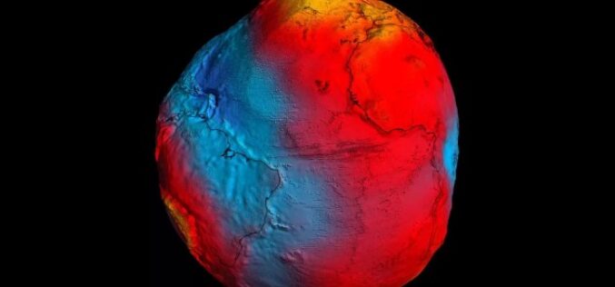
The Power of Geodetic Data: Accessing GGOS Portal for Research and Analysis
The Global Geodetic Observing System (GGOS) portal is a centralized access point for geodetic data. It provides access to a wide range of data related to Earth’s gravity field, geodetic

Taiwan and Indonesia Signed Pact on Cooperation in Geodesy and Geomatics
According to recent news reported by the Taiwan News, Taiwan and Indonesia have signed a pact on Dec. 20 to foster cooperation in geodesy and geomatics, the scientific fields concerned with
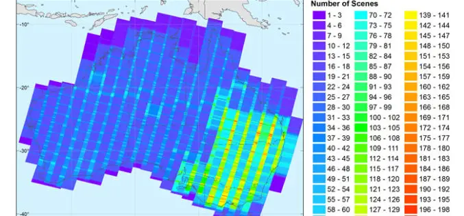
New Open-source Software Enhances Satellite Geodesy Capability
Scientists from Geoscience Australia have released new software that will improve the ability to process big remotely-sensed satellite datasets. The new “PyRate” software being presented this week at the European

NASA Awards Very Long Baseline Interferometry Support Services
GREENBELT, Md., March 30, 2017 /PRNewswire-USNewswire/ — NASA has awarded the follow-on contract for Very Long Baseline Interferometry (VLBI) Support Services to NVI, Inc., of Greenbelt, Maryland. This is a
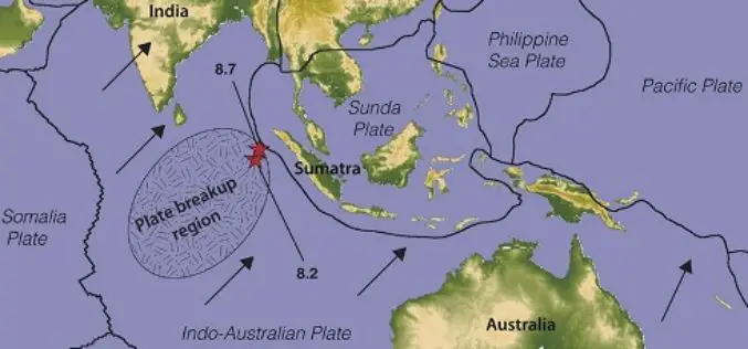
Australia’s Coordinates out by More Than 1.5 m
The Australian continent tectonic plate is moving 7 cm a year (and colliding with the Pacific Plate, which is heading west 11 cm a year) and experts at Geoscience Australia
