Melbourne Firm’s GeoAI Partnership in Australia Boosts AI-Driven Mapping
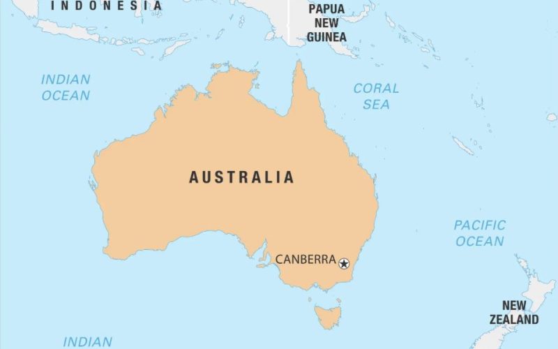
Melbourne-based geospatial analytics firm, The Spatial Distillery Company, has partnered with Swiss artificial intelligence provider Picterra. This GeoAI partnership in Australia aims to improve satellite and drone image analysis, helping businesses and government agencies track land use changes and infrastructure developments efficiently.
Advancing AI-Powered Geospatial Solutions
By integrating Picterra’s AI-driven platform with The Spatial Distillery Company’s local expertise, this collaboration is set to revolutionize aerial imagery analysis. The GeoAI partnership in Australia enables automatic detection of environmental changes, urban expansion, and land compliance issues. This technology will streamline decision-making for industries such as agriculture, forestry, and city planning.
Also Read – Hyperspectral Plastic Detection for Riverine Cleanup
Bringing Global Innovation to Australia
Nigel Lester, Chief Executive of The Spatial Distillery Company, emphasized that this partnership is a major step for Australia’s geospatial sector. Picterra, with experience in over 100 global geospatial projects, brings AI-powered mapping solutions to the Australian market. With local support and consulting services, organizations can adopt cutting-edge GeoAI technology tailored to their needs.
Impact on the Geospatial Industry
The GeoAI partnership in Australia ensures more accurate and automated geospatial insights. Businesses and government agencies can now monitor vast landscapes with greater efficiency, reducing the need for manual data interpretation. This partnership provides a cost-effective solution to analyze and manage critical geospatial data in real-time.
Conclusion
This collaboration marks a milestone in geospatial technology adoption. By combining AI-powered mapping with expert local support, Australian organizations can enhance land monitoring, optimize planning, and ensure environmental compliance with greater precision.
Source: CRN







I think that combining satellite images with AI is a disruptive combination with a very promising future, as it can overcome the current significant barrier of being able to assimilate and understand the overwhelming amount of information we receive in a more agile, rapid, and efficient way.