NAKSHA Project to Revolutionize Urban Land Surveys in India
In a significant move to modernize urban land records, the Government of India is set to launch the National Geospatial Knowledge-based Land Survey of Urban Habitations (NAKSHA) pilot project.
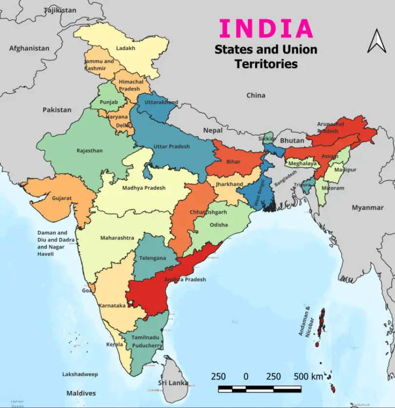
The inauguration, led by Union Minister Shivraj Singh Chouhan, will take place across 152 Urban Local Bodies (ULBs) spanning 26 states and three Union Territories. The launch event will feature drone demonstrations, the unveiling of a Standard Operating Procedure (SoP) booklet, and a program video highlighting the initiative’s objectives.
Modernizing Urban Land Records
The NAKSHA project, an initiative under the Department of Land Resources, aims to integrate geospatial technology into urban land management. This effort aligns with the Digital India Land Records Modernization Programme (DILRMP), which has been operational since 2016-17 and is projected to continue until 2026. With an estimated budget of ₹194 crore, the program is expected to bring accuracy and efficiency to land records, resolving long-standing property disputes and streamlining ownership documentation.
Also Read – Survey of India Launches Web Portal to Download Maps
How the NAKSHA Project Works
NAKSHA leverages advanced geospatial technology to ensure accurate land surveys. The Survey of India, acting as the technical partner, will conduct aerial surveys and provide orthorectified imagery through third-party vendors. These high-precision images will assist state and UT governments in field surveys and ground verification, ultimately leading to updated and transparent urban land records.
Additionally, an end-to-end web-GIS platform, developed by the Madhya Pradesh State Electronics Development Corporation (MPSEDC), will enable efficient management of land data. The National Informatics Centre Services Inc. (NICSI) will offer secure storage facilities to safeguard this critical information.
Significance of NAKSHA in Urban Development
Urban land disputes and ambiguous property records have long been challenges in India’s real estate and governance sectors. The NAKSHA project seeks to:
- Provide clear land ownership documentation
- Reduce land-related conflicts and fraudulent transactions
- Improve transparency in land administration
- Enhance urban planning and infrastructure development
- Strengthen the financial position of urban bodies through better property tax collection
By integrating real-time digital systems, the initiative will curb fraud, foster investment, and promote organized urban growth. The project is expected to significantly boost the real estate and infrastructure sectors, making urban governance more efficient and reliable.
Madhya Pradesh’s Key Role in the Launch
Madhya Pradesh is playing a pivotal role in the project’s pilot phase. Chief Minister Dr. Mohan Yadav and Union Minister Shivraj Singh Chouhan will inaugurate the program from Raisen district, where a drone survey demonstration will mark the project’s beginning. The state will see the program implemented in 10 cities across nine districts, including Shahganj, Chhanera, Alirajpur, Depalpur, Dhar Kothi, Meghnagar, Makhan Nagar (Babai), Vidisha, Sanchi, and Unhel.
Future Prospects and National Impact
The NAKSHA project represents a transformative step toward modernizing India’s urban land records. With precise geospatial data, urban planning will become more effective, and property-related transactions will be conducted with greater ease. The initiative also supports India’s broader vision of digital governance and smart urban development.
As the program rolls out, its impact on urban governance, investment climate, and land administration will be closely watched. If successful, NAKSHA could serve as a model for future land record modernization efforts across the country.