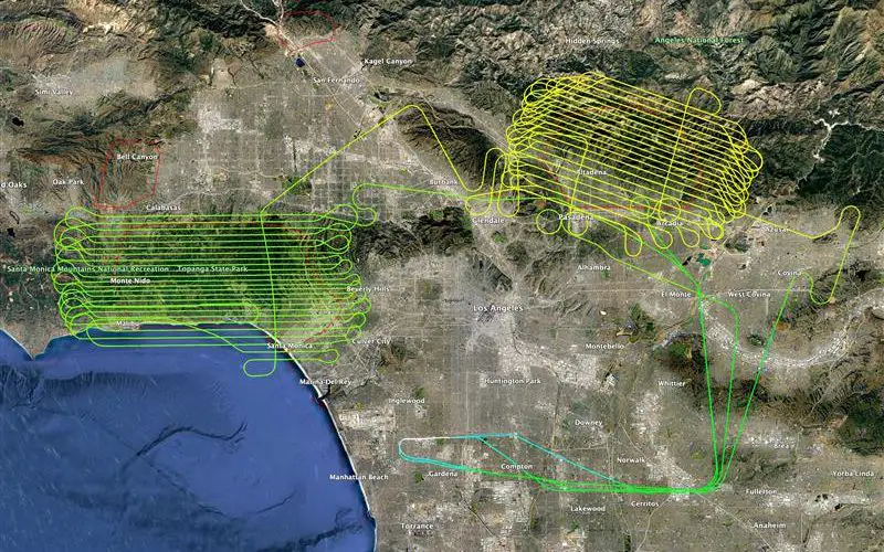
NV5, a leading provider of geospatial solutions, has released lidar data for the Palisades Fire and Eaton Fire burn areas. The dataset, made publicly available through the U.S. Geological Survey (USGS), provides critical insights into fire damage and helps assess risks such as debris flows and flooding.
Collected between January 21-22, 2025, the lidar data includes a 0.5-meter Digital Elevation Model (DEM) and Digital Surface Model (DSM), enabling precise terrain analysis. Sponsored by ALERTCalifornia, the data supports post-fire recovery efforts by identifying hazards like unstable trees and compromised infrastructure.
“The Palisades and Eaton fires have shown how devastating wildfires can be. This data is essential for planning wildfire prevention, mitigation, and response efforts,” said Neal Driscoll, Principal Investigator at UC San Diego ALERTCalifornia.
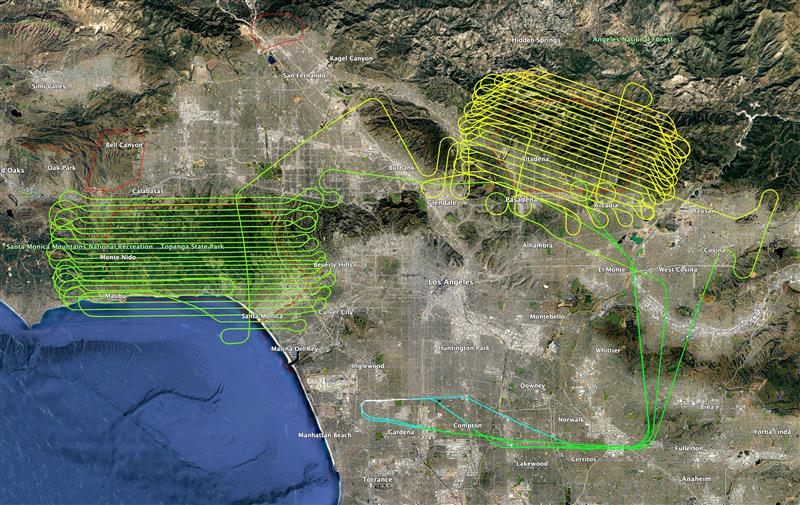
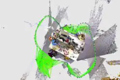
Image Credit: NV5
NV5 used advanced lidar sensors – Riegl 1560II and Applanix IMU – to collect data at 16 points per square meter, ensuring high-resolution mapping. The new dataset will be compared with NV5’s 2023 and 2024 lidar surveys under the USGS 3D Elevation Program (3DEP) to assess burn severity and guide restoration.
This analysis helps quantify fire damage, identify areas at risk of debris flows or flooding, and guide restoration efforts. Lidar can also detect remaining hazards like unstable trees, compromised structures and infrastructure, as well as supporting safe recovery operations. The burn zones were flown at 16 points per square meter and will undergo additional processing to fully comply with USGS 3DEP Lidar Base Specification Standards.
“In our changing world, detailed geographic data is crucial for recovery and future preparedness,” said Kurt Allen, President of NV5’s Geospatial Business Unit.
With wildfires becoming more frequent, NV5’s lidar insights will help communities rebuild safely and improve long-term wildfire resilience.
Source: NV5 Geospatial