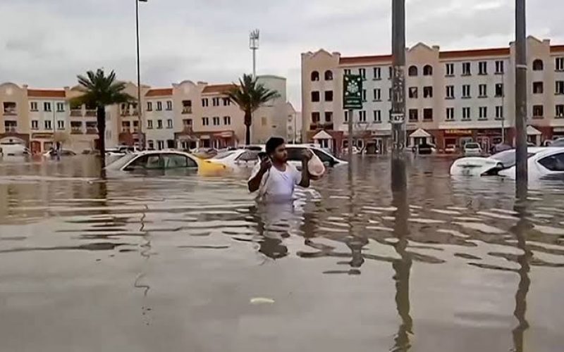
Oman is initiating a major project focused on Flood Risk Mapping across the country. The Ministry of Agriculture, Fisheries, and Water Resources has engaged a specialized company to lead this crucial project, which will run from 2024 to 2026. The primary goal is to update existing maps and create new ones, highlighting flood plains, assessing risk levels, and identifying the spread of water in primary and secondary wadis.
This Flood Risk Mapping initiative is essential for enhancing emergency preparedness and urban planning. The updated maps will be a vital tool for the National Emergency Management Committee, helping them save lives and protect properties during severe weather conditions. By identifying areas of maximum, medium, and minimum risk, the maps will ensure that communities and infrastructures near valleys are adequately safeguarded.
Also Read – Geospatial Technologies to Mitigate The Impact of Flooding
The project will be executed in three main phases. The first phase, lasting 12 months, will focus on analyzing rainfall and surface runoff data. This phase will involve evaluating existing hydrological data from rain stations and valleys across all governorates in Oman. Additionally, it will establish rainfall intensity recurrence periods (IDF curves) and develop flood design guides (FDM) for each region, enhancing the Flood Risk Mapping process by understanding the dynamics between rainfall and runoff.
In the second phase, which will extend for seven months, the focus will be on Flood Risk Mapping in flood plains and other risk areas. Advanced hydrological analysis tools will be used to map flood risks, assess their severity, and pinpoint key valley channels. This detailed mapping will provide a clearer understanding of potential flood hazards during different flood scenarios.
The final phase, which will last five months, will concentrate on creating flood risk management and emergency plans. These plans will be based on the Flood Risk Mapping data and will include procedures and scenarios to manage floods effectively. Recommendations for waterway demarcations and emergency measures during extreme weather events will also be part of this phase.
Oman’s commitment to Flood Risk Mapping represents a proactive approach to safeguarding its citizens and ensuring sustainable development. By utilizing modern technologies and comprehensive hydrological analysis, Oman is preparing itself to better manage flood risks in the future.
Source: Zawya


