PCI Geomatics and IAVO-RS Announce Update to 3D FeatureXtract Software
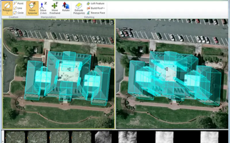
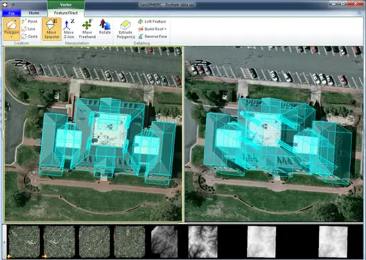
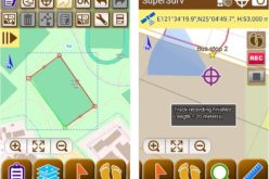
Example -3D FeatureXtract (3DFE)
Credit: PCI Geomatics
PCI Geomatics, a world-leading developer of remote sensing and photogrammetric software and systems, announces with its partner IAVO, the release of 3D FeatureXtract (3DFE).
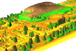
By calculating feature heights and outlines of overlapping satellite or aerial imagery, 3DFE can model 3D features in a 2D environment, and it does this without any need for specialized hardware. The software was developed by leading scientists at IAVO, a research and development company based in Durham, North Carolina. This update, which brings the software version to v3.1, contains a number of new improvements to further add to the ease of creating accurate 3D models.
The all-new 3D Viewer allows you to navigate your 3D site model during the collection process, providing an improved QA/QC tool. Users can watch as the geometry changes in real time when new models are being built. A host of new drawing tools are designed to improve geometry creation with new shapes that include ellipses, Boolean geometry to combine shapes, and parameterized structures to create custom shapes with just a few simple parameters.
“This update to 3DFE expands the software’s power in addressing growing trends in 3D feature modeling,” said David Piekny, Product Marketing Manager at PCI Geomatics. “The software continues to impress with fast, precise, highly accurate results from an intuitive and simple to use interface.”
Combined with Geomatica 2014 software with new, Live DEM editing and superior DSM-extraction capabilities, PCI Geomatics users now have access to sophisticated 3D generation and editing tools in a lightweight, powerful package.
PCI Geomatics is the global distributor for 3D FeatureXtract software, with additional distribution through its international reseller network. To find out more and to download an evaluation version of the software, visit: www.pcigeomatics.com/3DFE.
About PCI Geomatics
PCI Geomatics is a world-leading developer of software and systems for remote sensing, imagery processing, and photogrammetry. With more than 30 years of experience in the geospatial industry, PCI is recognized globally for its excellence in providing software for accurately and rapidly processing both satellite and aerial imagery. PCI has installed more than 30 thousand licenses, in over 150 countries worldwide. Find out more about PCI Geomatics at : www.pcigeomatics.com.
Press Contact
Kevin R. Jones
Director, Marketing and Communications
T: 819-770-0022 x 214
E: jones@pcigeomatics.com
Web: www.pcigeomatics.com
Twitter: @pcigeomatics