Trimble’s New GNSS Base Station Gives Users Improved Satellite Tracking and Remote Operation for Civil Construction, Geospatial and Agriculture Applications
Trimble (NASDAQ: TRMB) has introduced the Trimble® R750 GNSS Modular Receiver, a connected base station for use in civil construction, geospatial and agricultural applications. The R750 provides improved base station performance, giving contractors, surveyors and farmers more reliable and precise positioning in the field.
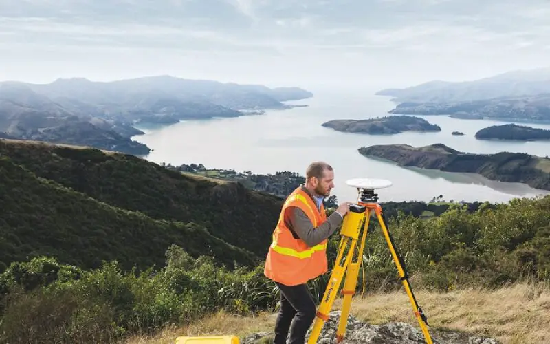
The R750 can be used to broadcast Real-Time Kinematic (RTK) corrections for a wide range of applications, including seismic surveying, monitoring, civil construction, precision agriculture and more. Access to all available satellite signals provides improved performance and reliability when used with a Trimble ProPoint™ Global Navigation Satellite System (GNSS) rover. ProPoint gives users improved performance in challenging GNSS conditions, with ground-breaking signal management.
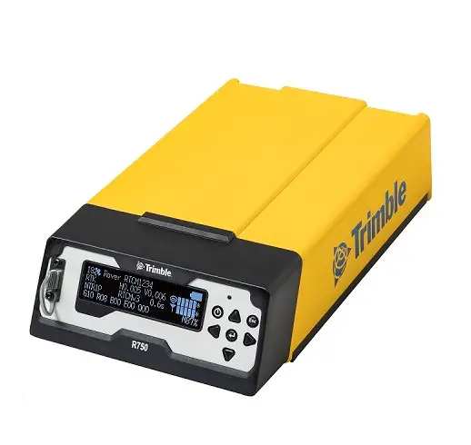
Featuring a built-in LTE modem, the R750 GNSS Modular Receiver can provide corrections via the internet, making it easier to extend the range of a base station anywhere with cellular coverage. The built-in modem also provides remote access and management, delivery of email alerts and notifications, and data transfer capabilities between the field and the office.
“The R750 delivers significantly improved satellite tracking and connectivity, while also providing a vastly improved user experience,” said Scott Crozier, vice president of Trimble Construction Field Solutions. “The ability to manage the base station remotely, and to receive status notifications about the unit while in the office reduces downtime and the need to travel to the site. The new Trimble R750 GNSS Modular Receiver is a game changer, especially for users who manage base stations in remote locations.”
For monitoring applications, the R750 provides precision capabilities for construction and geospatial customers deploying automated systems. Combined with Trimble 4D Control real-time monitoring software, users can capture high-frequency 3D positions for alarming and reporting on movement. The R750 offers multiple communication methods that provide flexibility for customers on how they deploy their monitoring system.
Availability
The R750 is available for order now through Trimble’s Geospatial, Civil Construction and Agriculture distribution partners.
About Trimble
Trimble is an industrial technology company transforming the way the world works by delivering solutions that enable our customers to thrive. Core technologies in positioning, modeling, connectivity and data analytics connect the digital and physical worlds to improve productivity, quality, safety, transparency and sustainability. From purpose-built products to enterprise lifecycle solutions, Trimble is transforming industries such as agriculture, construction, geospatial and transportation. For more information about Trimble (NASDAQ:TRMB), visit: www.trimble.com.
Also Read-
Trimble MX50 LiDAR System Expands Mobile Mapping Portfolio