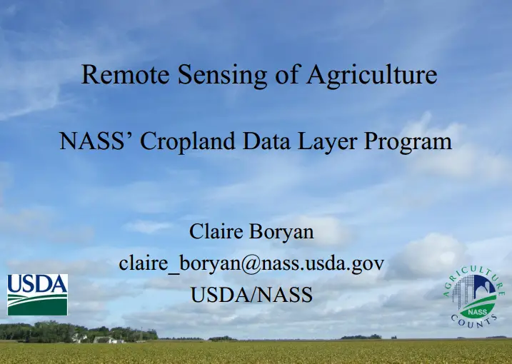
Remote Sensing of Agriculture (NASS’ Cropland Data Layer Program)
Download Remote Sensing of Agriculture (NASS’ Cropland Data Layer Program
“This blog does not host any contents or data. All the files linked to other website and the contents belongs to the respected owner or of their proprietary .”
Admin
Categories:
E-books