
Tag "2014 Esri 3D Mapping Forum"
LiDAR
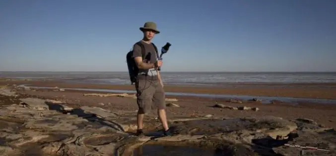
Mapping Australia’s Dinosaurs Landscape Using LiDAR and Drones
According to recent news by BBC, Scientists are trying to reconstruct ancient Australian landscapes once roamed by some of the biggest dinosaurs. The 130-million-year-old footprints are virtually the only record of

Courses
Photogrammetry
Photogrammetry Workshop by Ball State University
Department of Landscape Architecture, College of Architecture and Planning Ball State University is providing open and free workshop on photogrammetry. Ball State University, commonly referred to as Ball State or BSU,
