
Tag "Disaster Data"
GIS
NOAA’s Online Mapping Tool ERMA Opens up Data to the Public
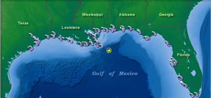
NOAA’s Environmental Response Management Application (ERMA) is a web-based mapping application that pulls in and displays both static and real-time data, such as ship locations, weather, and ocean currents. ERMA enables
