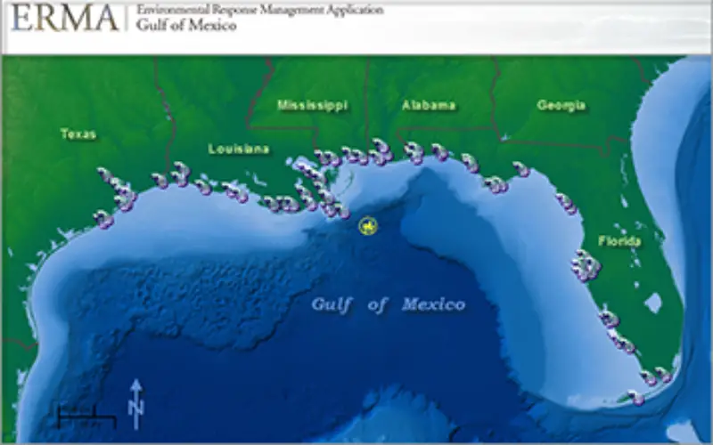
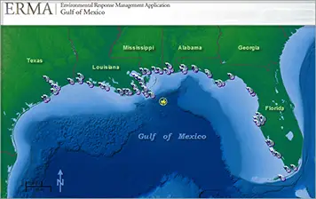
NOAA’s Environmental Response Management Application (ERMA) is a web-based mapping application that pulls in and displays both static and real-time data, such as ship locations, weather, and ocean currents. ERMA enables a user to quickly and securely upload, manipulate, export, and display spatial data in a Geographic Information System (GIS) map.
ERMA is jointly developed by NOAA and the University of New Hampshire with the U.S. Environmental Protection Agency, U.S. Coast Guard, and U.S. Department of Interior. ERMA facilitates environmental resource managers with the data necessary to make decisions for environmental response and environmental data dissemination.ERMA reaches a diverse group of users and maintains a wide range of data through a number of partnerships across federal agencies, states, universities, and nations.
This online tool has aided in the quick display of and access to data not only for responders working to protect coastal communities but also the public. From oil spill response to restoration activities. Because it is accessible through a web browser, ERMA can quickly communicate data between people across the country working on the same incident. ERMA allows anyone to access publicly available data for that incident.
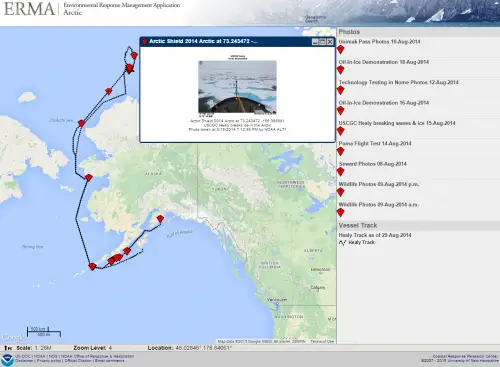
ERMA is an active tool in Arctic oil spill response planning. (NOAA)
To date, the ERMA site dedicated solely to the Deepwater Horizon spill contains over 1,500 data layers that are available to the public. Data in ERMA are displayed in layers, each of which is a single set of data. An example of a data layer is the cumulative oil footprint of the spill. This single data layer shows, added together, the various parts of the ocean surface the oil spill affected at different times over the entire course of the spill, as measured by satellite data.
NOAA has created 10 other ERMA sites customized for various U.S. regions. They continue to provide data related to environmental response, cleanup, and restoration activities across the nation’s coasts and Great Lakes. These 10 regional ERMA sites together contain over 5,000 publicly available data layers, ranging from data on contaminants and environmentally sensitive resources to real-time weather conditions.
– National Oceanic and Atmospheric Administration