
Tag "Disaster Risk Assessment"
GIS
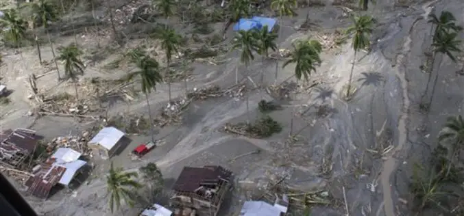
Philippines Government to do 3D Mapping in Disaster Mitigation
In recent news, as a part of the Disaster Risk Assessment, Exposure and Mitigation – Light Ranging and Detection Technology (DREAM-LiDAR) project, a collaboration between Department of Science and Technology
