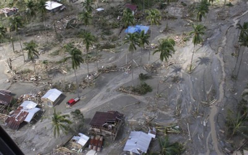
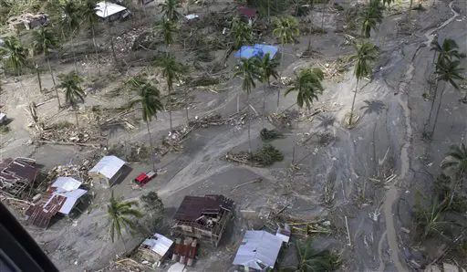
In recent news, as a part of the Disaster Risk Assessment, Exposure and Mitigation – Light Ranging and Detection Technology (DREAM-LiDAR) project, a collaboration between Department of Science and Technology (DOST) and University of the Philippines to create high resolution hazard maps to improve disaster preparedness.
According to Dr. Eric Paringit, Project Leader of DREAM, the Province is in need for updated hazard maps due to the evolving threat.
The major concerns in the 2012 Typhoon Pablo were strong winds and landslides. However, flooding became the main challenge in the recent Typhoon Agaton in January this year.
“It is not just a matter of saying how resilient your house is against strong winds, it also matters where the house or the structure is located,” Paringit said. He added that areas or structures which were assessed to be safe previously were damaged or hit during the flood.
Source: Future Gov