
Tag "Gravity Model"
Remote Sensing
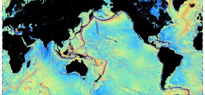
Mapping the Seafloor with Geodesy
Advanced sonar technology has allowed ships to create highly detailed topographic maps, it would take 125-200 ship-years to survey the deep oceans alone, costing billions of dollars. Gravity models are
