
Tag "NASA Use New GIS-Satellite ImageryProgram to Create Tool for Firefighters"
GIS
Uncategorized
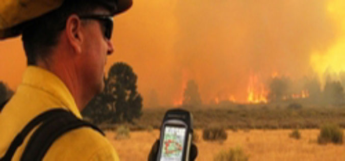
ISU, NASA Use New GIS-Satellite Imagery Program to Create Tool for Firefighters
POCATELLO – 35 minutes. That’s how long it took for the Idaho State University GIS Center to produce a detailed report that gave Bureau of Land Management wildfire managers information
