Tag "Peatland"
GIS
Jakarta Adopted LiDAR To Map and Protect Peatland Forests
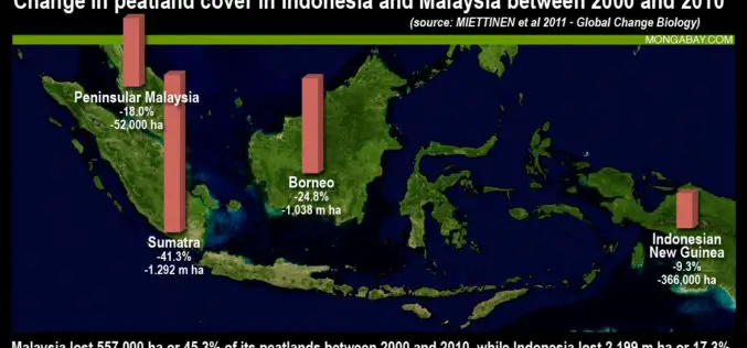
According to recent news by The Jakarta Post, the Government of Indonesia has started producing a detailed peatland map using light detection and ranging (LiDAR) technology to better manage the nation’s


