
Tag "Topography Scanning"
Webinars
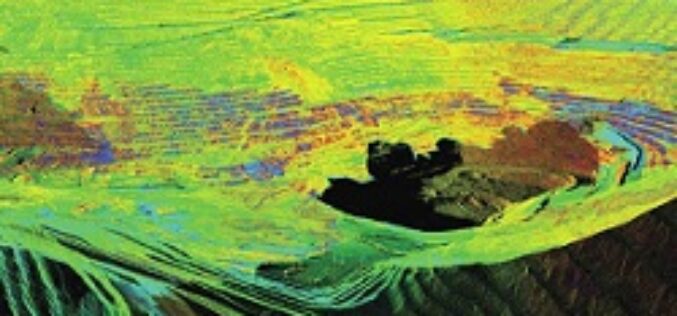
RIEGL Webinar on Mine Planning, Landslide Monitoring, and Topography Scanning with New RIEGL Tools!
This FREE webinar is for those of you to show you RIEGL LiDAR tools for mine planning and topography surveying, along with different workflows.
