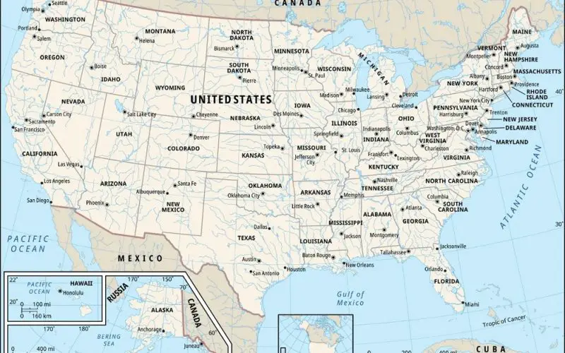
The U.S. Census Bureau recently unveiled a major update with the release of new geospatial data that includes the TIGER/Line files in GeoPackage format for the first time. This dataset, based on the Open Geospatial Consortium Encoding Standard, provides extensive geographic information on legal, administrative, and statistical boundaries, as well as roads and hydrography. One of the highlights of this release is the inclusion of the 119th Congressional District and 2024 State Legislative District boundaries.
The Census Bureau geospatial data is available in multiple formats—TIGER/Line Shapefiles, Geodatabases, and GeoPackages—offering either national or state-level coverage. These files are an essential resource for a variety of applications, including urban planning, transportation analysis, and environmental assessment.
Also Read – GIS Analytics Server of U.S. Federal Statistical Data
While the TIGER/Line files themselves do not include demographic data, they contain geographic entity codes (GEOIDs) that enable users to link this spatial data to Census Bureau demographic datasets. This connection provides valuable insights for anyone needing to visualize U.S. census data as maps, making the geospatial data a powerful tool for research, policy development, and commercial use.
This release also prepares users for the upcoming 2024 vintage demographic data, which will be available on data.census.gov. With the Census Bureau geospatial data, users will be able to link geographic boundaries with future population, housing, and economic data, making it easier to analyze trends and develop solutions across various fields.
For those unfamiliar with these products, the Census Bureau provides a detailed TIGER Data Products Guide, offering guidance on which formats and datasets will best meet specific needs.
Overall, the release of this updated geospatial data emphasizes the Census Bureau’s ongoing commitment to making its data accessible and usable across sectors.
By providing robust geospatial datasets, the Bureau continues to empower government agencies, businesses, researchers, and the public to leverage geographic information for decision-making and analysis.
Source: U.S. Census Bureau


