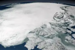
![]() Today I would like to take you for a short tour of Land-Cover and Land-Use Change (LCLUC) Program of NASA. LCLUC is an interdisciplinary science program in the Earth Science Division of the Science Mission Directorate. LCLUC is part of the Carbon Cycle and Ecosystems Focus Area with links to some programs in other Focus Areas.
Today I would like to take you for a short tour of Land-Cover and Land-Use Change (LCLUC) Program of NASA. LCLUC is an interdisciplinary science program in the Earth Science Division of the Science Mission Directorate. LCLUC is part of the Carbon Cycle and Ecosystems Focus Area with links to some programs in other Focus Areas.
The focus of LCLUC research is on quantifying the location, extent and variability of change, the causes or forcing factors of change, for example, climatic, ecological and socioeconomic drivers, the processes of change and the responses and consequences of change. NASA LCLUC research projects use a combination of space observations, in situ measurements, process studies and numerical modeling. As an interdisciplinary research program, LCLUC fosters strong partnerships between physical and social scientists to develop the integrated science necessary to understand why and how patterns of land-use and land-cover are changing, how they will change in the future and the implications of these changes. LCLUC research crosscuts several other research areas, e.g. climate change and variability, water cycle, carbon cycle, ecosystems and biodiversity, and human contributions and responses to environmental change.
The Science of LCLUC
Key Science Questions
The LCLUC research program focuses on these components in addressing the following key land-use science questions:
- Where are land-cover and land-use changing, what is the extent and over what time scale and how do the changes vary from year to year? (Variability)
- What changes are occurring in global land-cover and land-use, and what are their causes? (Forcing)
- What are the impacts of climate variability and changes on LCLUC and what is the potential feedback? (Responses)
- What are the consequences of changing land-use activities for ecosystems and how do they respond to and affect global environmental change? (Consequences and Responses)
- What are the consequences of land-cover and land-use change for human societies and the sustainability of ecosystems? (Consequences)
- How will land-cover change on time scales from years to centuries? (Prediction)
- What are the projected changes in land-cover and their potential impacts? (Prediction)
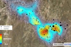
Global Map of Hotspots of Land Cover and Land Use Change
Purpose: The goal of this project is to present examples of current hot spots of land cover and land use change around the globe, through an interactive online map. This project was collaboration between graduate students in the Department of Geography at the University of Maryland, College Park, and was completed in late 2009. The site is periodically updated as new hotspots are identified by scientists from NASA’s Land-Use Land-Cover Change Program.
Hotspot Definition: For the purposes of this project, a “hotspot” is defined as existent or potential change to a region or area through land cover and land use change that has regional to global implications. The hotspots were also considered within the context of pressing environmental and social issues such as climate change, biodiversity, human health, and sustainability. Primary considerations were to identify areas of change within the last five years and areas of continued or potential future change.
Hotspot Categories: Seven broad categories of land-cover land-use change were identified for this project. In some cases the categories are related to one another, and other hotspots can be added as needed.
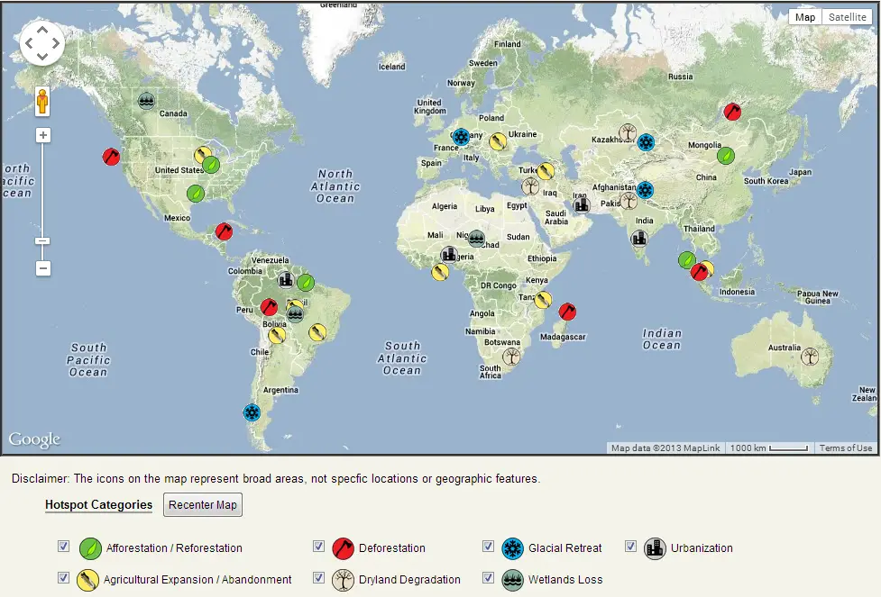
GLOBAL MAP OF HOTSPOTS OF LAND COVER AND LAND USE CHANGE
Courtesy: NASA LCLUC
More Resources:
- Online Interactive GLOBAL MAP OF HOTSPOTS OF LAND COVER AND LAND USE CHANGE
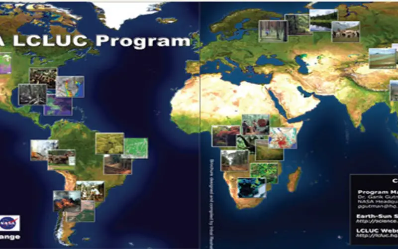
- 2013_NASA_LCLUC_brochure.pdf
- 2009_NASA_LCLUC_brochure.pdf
- 2006_NASA_LCLUC_brochure.pdf
- Read More about NASA LCLUC
Source: NASA LCLUC Program
If you like and find useful, please share and like.