
Archive
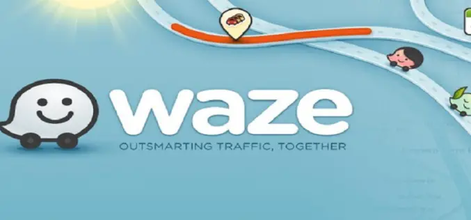
Waze App with Celebrity Voice Navigation Feature
Waze, world’s largest community-based traffic and navigation app announced a new partnership with Universal Pictures to introduce a celebrity voice navigation feature. Waze, offers voice-guided GPS navigation gleaned from users
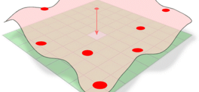
Choosing the Right Interpolation Method
The principle underlying spatial interpolation is the First Law of Geography. Formulated by Waldo Tobler, this law states that everything is related to everything else, but near things are more
Admission to Ph.D Programmes – NIT Karnataka – India
NIT Karnataka is Inviting Applications for Admission to Ph.D Programmes for the Academic Year 2013-14(December Session) The National Institutes of Technology Act, 2007 was enacted by the Parliament of India

The University of Mary Washington’s is Offering Master of Science in Geospatial Analysis
The University of Mary Washington’s Master of Science in Geospatial Analysis has been approved by the State Council of Higher Education for Virginia, paving the way for students to
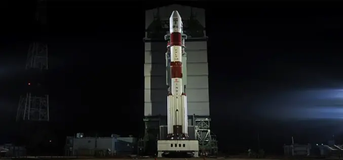
India’s First Mars Orbiter Mission Begun its Journey Successfully
India’s First Mars Orbiter Mission Heads its Journey Successfully to Mars for an about 400 million km. India’s first Mars orbiter Tuesday successfully began an around 780 million km long
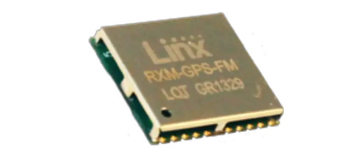
FM Series GPS Receiver Module in Small Package With High Accuracy
Linx Technologies Announces the Launch of High Performance FM GPS Receiver Module in a Small Package The FM Series GPS receiver module is a self-contained high-performance Global Positioning System receiver designed

MRPC Launches Web GIS System for Mustard Crop
Mustard Research and Promotion Consortium (MRPC) Launches Web GIS System for Mustard Crop MRPC is a non-govemental, non-profit R&D organization registered as a Society under the Societies Registration Act
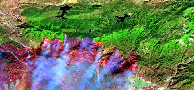
It’s Time to Give Firefighters a 21st century Tool: A Fire-Spotting Satellite
Scientists from UC Berkeley Develop Framework For Fire-Spotting Satellite UC Berkeley researchers have developed an initial framework for a satellite that could one day help locate emerging fires and
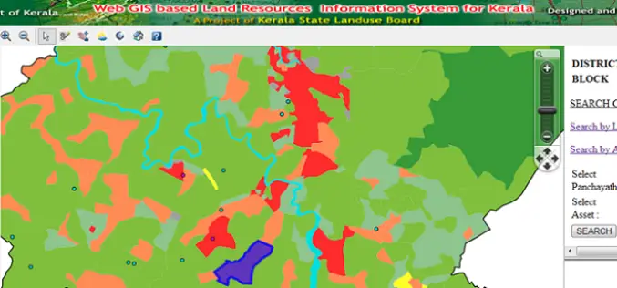
Kerala is the First State to Embark Land Resources Information System (LRIS) – India
India – Kerala is the First State to Embark Web Based Land Resources Information System (LRIS) The Land Resources Information System (LRIS) is an effort to streamline rural growth and
