
Archive
SuperSurv for Android Helps Irrigate Farms in Spain
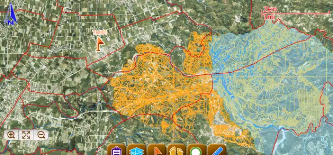
Supergeo, the total GIS software solution provider, announces that Almacelles Irrigation Community, Spain utilizes SuperSurv for Android to improve irrigation efficiency and productivity. SuperSurv is a powerful mobile GIS App

Geo-matching.com Adds Levelling Instruments
Geo-matching.com has recently added Levelling Instruments to its broad spectrum of product categories. Spectra Precision is the first supplier in this category with the DL-15 Digital Level.In addition to general specifications, detailed

Satellite Remote Sensing of Particulate Matter Air Quality: Data, Tools, Methods and Applications
Satellite Remote Sensing of Particulate Matter Air Quality: Data, Tools, Methods and Applications (aka AOD-PM) October 1 – October 29, 2015 5 webinars: one hour per week Every Thursday 11:30

Proteus Announces Launch of Professional Satellite Image Procurement Service
Proteus, a provider of satellite derived mapping and geospatial services, announces the official launch of their new professional satellite image procurement service. Proteus employ dedicated expert account managers to provide
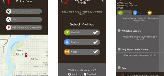
Mobile App Puts Power of Place in People’s Hands
New Featured Maps Deliver Insights into Mankind’s Relationship with the World Redlands, California—Smartphone users now have access to Field Notes—Earth, a new mobile app from Esri that employs the power

China to Open Doors for Commercial Remote Sensing Satellite
BEIJING: A Chinese province, one of the communist nations oldest industrial bases, plans to launch its first indigenous remote sensing satellite for commercial use in October. Northeast China’s Jilin Province
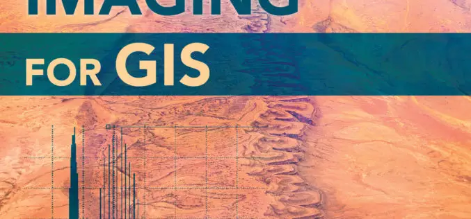
Earth Imaging Gets a Close-Up
New Esri Book Covers Basics of Collecting, Enhancing, and Interpreting Aerial Images within a GIS Satellites, aircraft, and unmanned aerial systems (UAS) collect imagery that can be displayed and analyzed
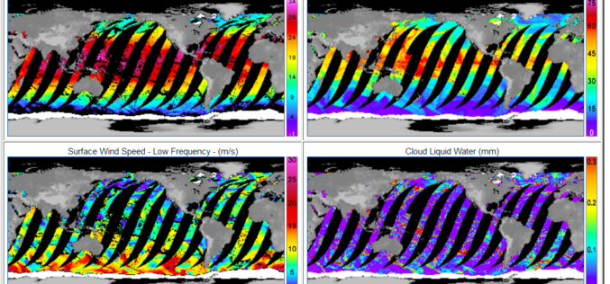
GPM Microwave Imager Data Products are Now Available to Download
Remote Sensing Systems has just released the GPM Microwave Imager (GMI) ocean product suite. The Global Precipitation Measurement (GPM) satellite has a microwave radiometer onboard called GMI (GPM Microwave Imager). The
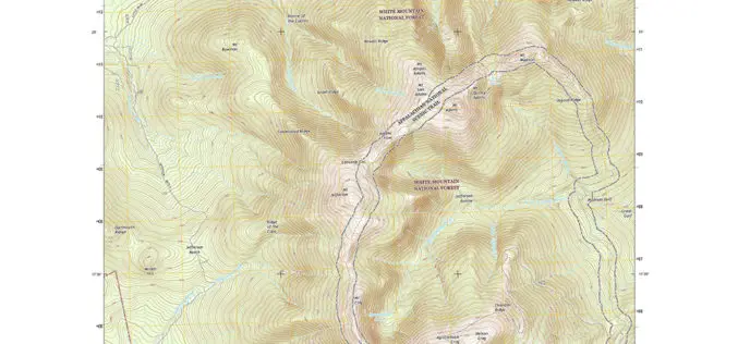
New England Maps Adding Trails
Newly released US Topo maps for New Hampshire, Vermont, Connecticut, Massachusetts and Rhode Island now feature selected trails and other substantial updates Several of the new US Topo quadrangles for
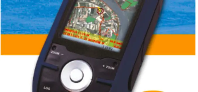
SuperField Supports Portuguese GPS Provider with GIS Application
Nautel, Portugal, the navigation and GPS turnkey solution provider, selects SuperField, the GIS data collection application, to provide users with a complete survey task-oriented choice. Founded in 1990, the Lisbon-based
