
Archive

Join OS Experts for a Beginner’s Guide to Map Reading
Ordnance Survey adventurers will be at Cotswolds Outdoors across the country giving free map reading lessons. The workshop is for beginners and aims to give them the confidence to better explore

AGI Foresight Report 2020 – Location Intelligence Vital To Connecting a ‘Digital Earth’
Technology and geospatial experts have come together to contribute to a new report which gives insight into the issues, which they believe will have a significant impact on our economy,
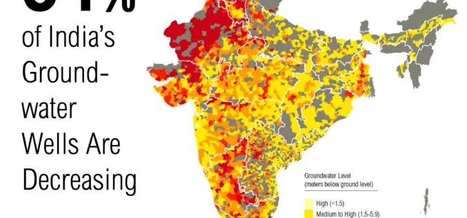
Government to Expedite the Task of Groundwater Mapping
New Delhi – The Government of India has decided to speed up the task of mapping of aquifers for better management of groundwater. Mapping of underground water source is expected to

US Environmental Protection Agency Chooses SimActive’s Correlator3D
SimActive Inc., a world-leading developer of photogrammetry software, has been selected by the United States Environmental Protection Agency (USEPA). They are using Correlator3D™ to create 3D datasets of vegetation for
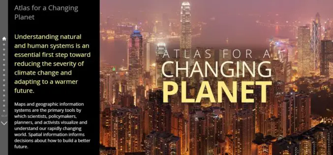
Atlas for a Changing Planet Story Map Delivers Cause and Effects of Climate Change
Esri’s Atlas for a Changing Planet Story Map Delivers Geographic Insight for Sustainable Planning and Development Redlands, California—Esri, the world leader in geographic information system technology, released an interactive map
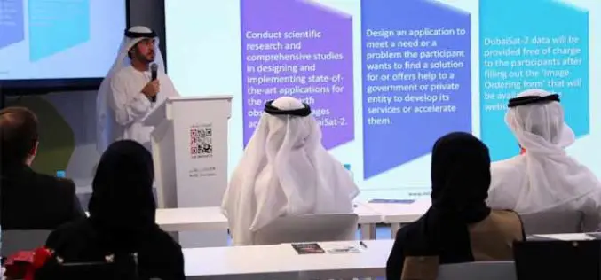
MBRSC Launches Remote Sensing Applications Competition
The Mohammed Bin Rashid Space Centre (MBRSC) launched the 2015 edition of the Remote Sensing Applications Competition (RSAC), which aims to promote scientific research and applications that use satellite images
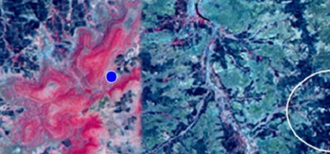
Identification of Artificial Recharge Sites Using Remote Sensing Technology
Identification of Artificial Recharge Sites Using Remote Sensing Technology Groundwater is a major source for all purposes of water requirements in India. More than 90% of rural and nearly 30%
