
Archive
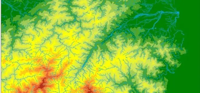
The Local Water Corporation of the Philippines Selects SuperGIS Desktop
The leading GIS software and solution provider, Supergeo Technologies Inc., announces that the water corporation of Butuan city, southern Philippines, has selected SuperGIS Desktop Professional as the platform for displaying
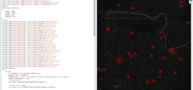
Design an Interactive Map SuperGIS Server
The biggest difference between a printed map and a digital map is that the digital map provides interactivity for users. For example, with GIS software, users can click on a
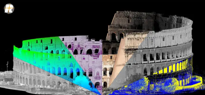
Major Update of RIEGL’s Terrestrial Laser Scanning Software Suite Now Available!
RIEGL is pleased to announce the release of a major update to their Terrestrial Laser Scanning Software Suite of RiSCAN PRO, RiMINING and RiSOLVE! The latest terrestrial laser scanning software

Tweets Can Help Speed Up Disaster Management
New York – Leveraging publicly available tweets or other social media posts could help disaster response agencies quickly identify impacted areas in need of assistance, says a new study. By
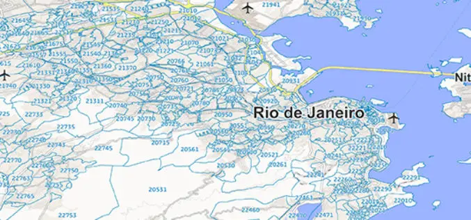
GfK Publishes New Map Edition for Brazil and Mexico
Brazil and Mexico: current geodata for business and risk analyzes GfK publishes new map edition for Brazil and Mexico. To administrative The digital maps and postal areas form the basis

Saudi Arabia to Launch Remote Sensing Satellite from China
Riyadh — King Abdulaziz City for Science and Technology (KACST) is working to complete preparation of the components of the Saudi satellite (Saudi SAT 5B) which is locally made, in
IBM and NRSC Signed MoU for Monitoring Mining Activity
According to recent news, Indian Bureau of Mines (IBM) and National Remote Sensing Centre (NRSC) has signed Memorandum of Understanding (MoU) for monitoring mining activity through satellite technology. The MoU was

Cabinet Apprised of ISRO-KISR MoU for Joint Space Exploration
New Delhi, Jan 20, 2016 – The Union Cabinet was today apprised of an agreement between ISRO and a Kuwaiti research body on cooperation in exploration of outer space and
Boundless Releases OpenGeo Suite 4.8
Newest Version Includes Support for Mapbox Vector Tiles, NetCDF for Atmospheric Data, and Improved Rendering Support Boundless, the leader in commercially supported, open source, geospatial software, has released OpenGeo Suite

OGC Seeks Public Comment on OGC Emergency and Disaster Management Information Framework Discussion Paper
The membership of the Open Geospatial Consortium (OGC®) seeks public comment on the OGC Emergency and Disaster Management Information Framework Discussion Paper. This paper proposes the establishment of information management
