
Archive
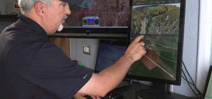
Kongsberg Geospatial and FAA ASSURE UAS Centre of Excellence Partner for Operational Trials of Detect and Avoid and Beyond Visual Line of Sight Display Software
Ottawa, CA, 29 August 2016: Kongsberg Geospatial, an Ottawa-based developer of real-time, mission critical, geospatial visualisation software, and the Federal Aviation Administration’s ASSURE UAS Center of Excellence, lead by Mississippi

TomTom Inaugurates its First Global Innovation Hub in Pune, India
Aims to increase India headcount to 1000 by end of 2016 Pune, India, 30 August, 2016 – TomTom (TOM2) today inaugurated its first global state-of-the-art Innovation Hub in Pune. The
TerraGo Webinar: Building Custom Enterprise Mobile Apps with TerraGo Magic
Webinar: Building Custom Enterprise Mobile Apps with TerraGo Magic September 13, 2016 | 12:00 PM (ET) TerraGo Magic enables any organization to mobilize their unique business workflows by making it possible

OGC is Considering a Proposed Work Item for 3D Tiles as a Community Standard
The Open Geospatial Consortium (OGC®) is considering start of a new work item for a Community Standard: 3D Tiles. The public is requested to comment on this work item proposal.
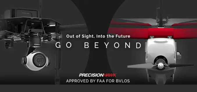
FAA Grants PrecisionHawk First Waiver to Fly Drones beyond Line Of Sight
Since receiving an experimental airworthiness certificate from the FAA to research operations within extended visual line of sight, PrecisionHawk has proven a safety case to advance its research to include

Training Course on GIS and Remote Sensing For Climate Change Impact Analysis and Adaptation
Training Course on GIS and Remote Sensing For Climate Change Impact Analysis and Adaptation October 10 – October 14, 2016 This training will offer a set of methods and techniques
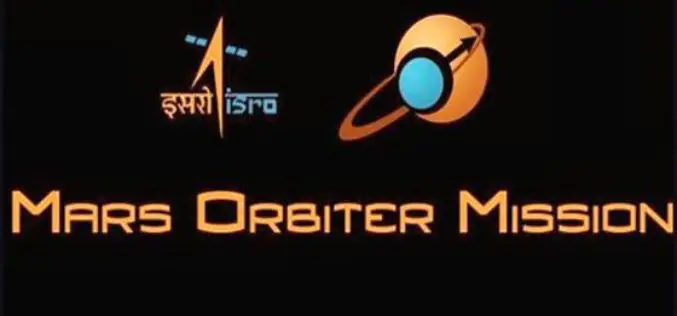
Announcement of Opportunity (AO) for Future Mars Orbiter Mission (MOM-2)
The geomorphological features on Mars suggests an early warm and wet climate, and perhaps conducive to the emergence of primitive life. Mars is considered to be unique as it has

East View Geospatial Introduces New Image Analysis Services
Minneapolis, Minn. – August 25, 2016 – East View Geospatial is pleased to announce the launch of new image analysis services designed to complement the company’s ever-expanding sources of satellite data
PrecisionHawk and Skyward Partner to Provide Full-Service Drone Platform to Commercial Customers
PrecisionHawk’s leading UAVs, data mapping and analysis software and LATAS safety platform will be connected to Skyward’s operations management platform to provide a holistic drone workflow for the commercial market

Get Ready for the New Small Drone Rule!
A new world of opportunities for drone operators opens next week on August 29 when the new small drone rule for non-hobbyists becomes effective. The Federal Aviation Administration (FAA) wants
