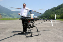
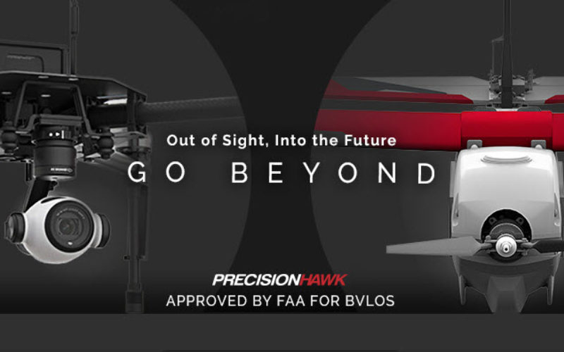
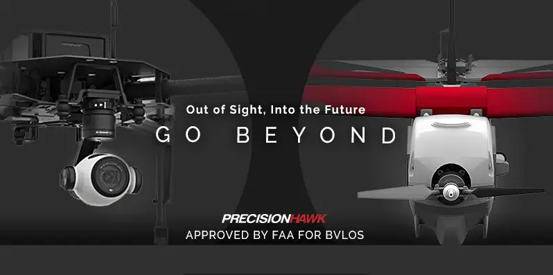
FAA Grants PrecisionHawk First Waiver to Fly Drones beyond Line Of Sight
Since receiving an experimental airworthiness certificate from the FAA to research operations within extended visual line of sight, PrecisionHawk has proven a safety case to advance its research to include commercial operations beyond the visual line of sight of the drone operator
Aug. 29, 2016 – Under a Part 107 waiver from the Federal Aviation Administration, announced today, PrecisionHawk can now fly drones beyond its line of sight during its commercial operations. Also under the waiver, PrecisionHawk is approved to train those who want to offer these extended visual line of sight (EVLOS) flights as a service. The waiver was granted based on over a years worth of testing under the Pathfinder program. Under Pathfinder Phase 1, PrecisionHawk determined that the extension in range offered by EVLOS operations supports a significant expansion in the area of operation, possibly up to 12 times what is achievable within line of sight.
Credit: PrecisionHawk
“Under Pathfinder, PrecisionHawk has been able to research and understand the complexities of operating in EVLOS, which we have shared with the FAA to help specify and shape the requirements for doing it safely,” said Thomas Haun, EVP at PrecisionHawk. “Large agribusiness fields, forests, mining operations, public utilities and other rural industries are examples of where extended operations are needed, and to accommodate the growing demand, PrecisionHawk has been actively exploring operational and technology solutions to meet this need.”
PrecisionHawk’s research on the EVLOS concept began in 2015 under a Cooperative Research and Development Agreement (CRDA) with the FAA under the Pathfinder Program. To date, the research has validated the EVLOS concept and collected data necessary to define safe operating limitations of UAS operators in command and remote visual observers.
This waiver from visual line of sight (VLOS) limitations under Part 107.31 gives PrecisionHawk the ability to continue its research by servicing for commercial customers in real-world situations using any UAV that is under 55 pounds takeoff weight and operates under 100 mph at all times. The ability to fly EVLOS allows UAVs to maximize their capability, improve economic efficiency, and cover acreage representative of a large percentage of agriculture fields, mining sites, and forestry areas common to the United States.
“Without a clear definition of the operational or technological requirements to fly a drone beyond the operator’s line of sight, it is the best interest of the industry to require a standard of experienced operations in EVLOS to mitigate risk,” said Tyler Collins, VP Airspace at PrecisionHawk. “We look forward to sharing the mitigations, parameters and airspace technologies we have been successful with under Pathfinder to support the approval of additional EVLOS waivers.”
To further mitigate risk, PrecisionHawk uses an airspace display technology called LATAS to help track the aircraft and avoid potential hazards such as trees, powerlines or manned aircraft. While it is not a required to receive an EVLOS waiver, LATAS plays a key role in PrecisionHawk’s own operations. The LATAS web application is a free tool available on www.flylatas.com and provides an extra layer of safety and protection for any operator flying under Part 107.
About PrecisionHawk: PrecisionHawk is a terrestrial data acquisition and analysis company founded in 2010. The company provides an end-to-end solution using Unmanned Aerial Vehicles (UAVs) for data collection and analysis software tools to deliver better business intelligence to clients across a wide range of civilian industries. PrecisionHawk also owns terrestrial data software, DataMapper, satellite imagery provider, Terraserver, and the Low Altitude Traffic and Airspace Safety platform for drones, LATAS. A privately held company based in Raleigh, NC and Toronto, Canada, PrecisionHawk’s investors include Intel Capital, Millennium Technology Value Partners, Verizon Ventures, DuPont, a subsidiary of USAA, NTT Docomo Ventures, Yamaha Motor and Indiana University’s Innovate Indiana Fund. More information about PrecisionHawk can be found at www.precisionhawk.com or on Twitter @PrecisionHawk.