
Archive

Project X Labs Makes Location Intelligence Intuitive With Geodash 3.2
Fully Compatible With Microstrategy 10.6 and Now Bundled With Intellisite TORONTO, ON–(Marketwired – January 03, 2017) – Project X Labs Ltd. is pleased to present GeoDash™ 3.2 and GeoDash™ 3.2M
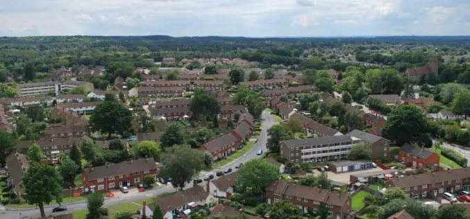
Bracknell Forest Homes Drives More Benefits From GIS
Bracknell Forest Homes is using a GIS for digital transformation and to create new streamlined processes. The GIS helps the business from reducing under-occupancy rates to helping find new development opportunities, and it now
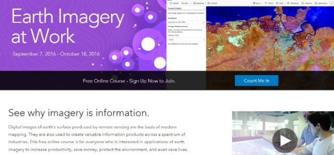
Register Now For Esri MOOC Program: Earth Imagery at Work
Earth Imagery at Work February 1, 2017 – March 14, 2017 Digital images of earth’s surface produced by remote sensing are the basis of modern mapping. They are also used to
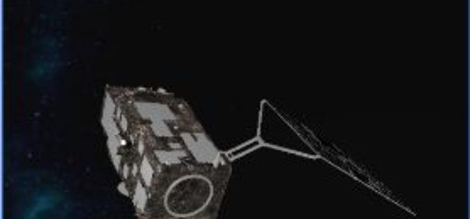
ESA Sentinel App Season Update!
A new update of the ESA Sentinel App is coming up! The latest changes have brought us the acquisition plans and swath animations for Sentinel-1A, Sentinel-1B and Sentinel-2A, a powerful

Maharashtra Forest Dept Gets New GIS Based Command Centre to Monitor Forest Reserve
Maharashtra – According to recent news by The Hindustan Times, in a first for the country, the Maharashtra State Forest Department will use real-time satellite images of all forested areas
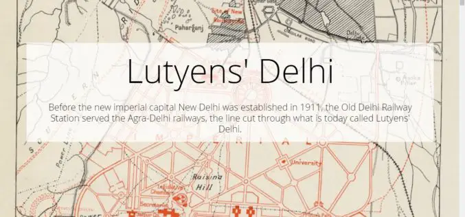
Lutyens’ Delhi
Contributed By:- Lutyens’ Delhi is an area in New Delhi, India, named after the British architect Edwin Lutyens (1869–1944), who was responsible for much of the architectural design and building
