
Archive
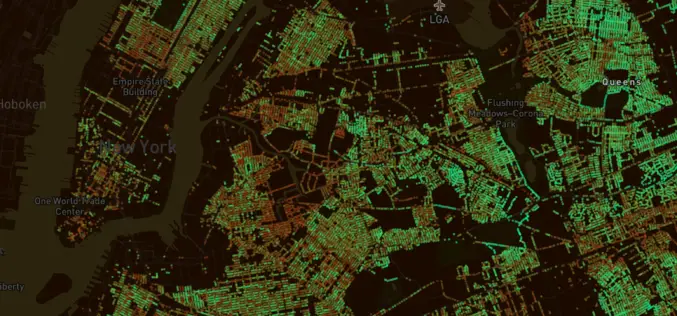
MIT in collaboration with World Economic Forum Launch Treepedia To Measure Green Canopy in Cities
Researchers at MIT, in collaboration with the World Economic Forum, has recently launched a new platform that uses Google Street View data to measure and compare the green canopy in
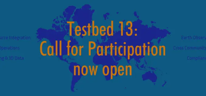
OGC Calls for Participation in Major Innovation Testbed (Testbed 13)
Wednesday, 25 January 2017 – The Open Geospatial Consortium (OGC®) invites interested organizations to respond to the just released Call for Participation (CFP) in the OGC Testbed 13 Interoperability Testbed. Organizations

New 3D Mapping Technology for Smart City Development
The two most commonly used 3D mapping techniques are photogrammetry using satellite or aerial imagery, and laser scanning. The former offers greater accuracy in the horizontal direction and the latter
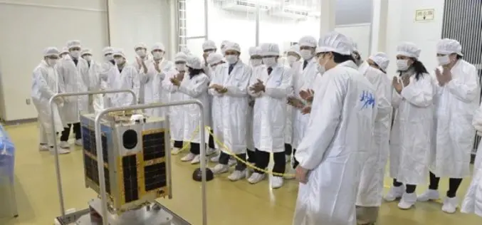
Philippines Joins Space Race with the Launch of Diwata-1 Microsatellite
According to recent news reported by IPS – The Philippines, has joined the colossal world of space technology, building its second microsatellite that it plans to launch late this year or

NOAA Releases First GOES-16 Image from Harris Corporation-Built Imager and Ground System
Imager and ground system increase resolution and speed Ground system will process more data than all current GOES satellites combined Advancements will improve weather forecasting for U.S. government MELBOURNE, Fla.

Mapping & Geospatial Industry in India to Grow Manifold in a Decade
Hyderabad – PTI – The mapping and geospatial technology area in the country are estimated to witness business of a whopping Rs 1 lakh crore in the next 10 years, Surveyor
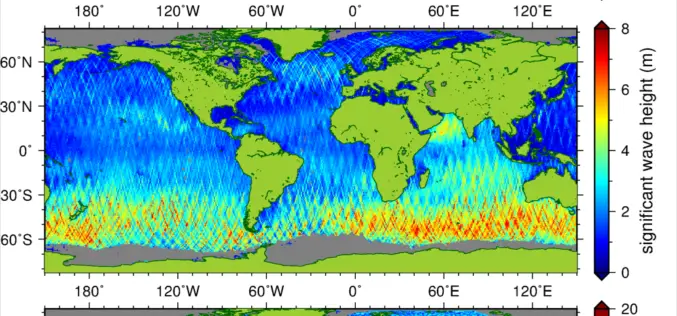
New Suite of Products Available For SRAL Instrument on the Copernicus Sentinel-3a Satellite
The Synthetic Aperture Radar Altimeter (SRAL) instrument on board Sentinel-3A delivers accurate measurements of sea surface height, significant wave height and surface wind speeds over the world’s oceans for Copernicus

Vietnam: GIS to Prevent Infectious Diseases
According to recent news by the Vietnam Bridge, the Ho Chi Minh City (HCM) of Vietnam has decided to promote its geographic information system (GIS), to prevent infectious diseases. The statement was
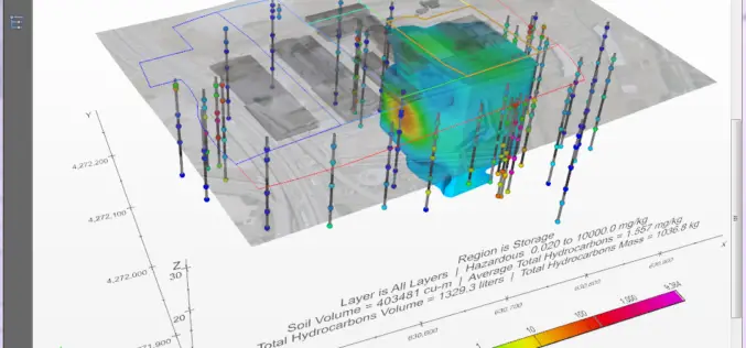
PDF3D Provides Access to the Fourth Dimension in C Tech’s New 4D Visualisation Tool
In the latest major release, C Tech Development Corporation (CTECH) announced Earth Volumetric Studio, a rich modular environment with embedded 4D PDF generation based on PDF3D systems. The latest offering
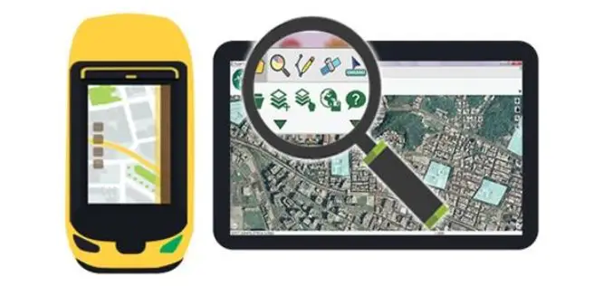
SuperPad 10 – A Revolution in Spatial Data Collection
Supergeo Technologies Inc. is going to unveil a brand-new version of its one of most popular GIS software in field surveying – SuperPad 10 before the end of January 2017.
