
Archive

UK Space Agency Announces New Funding for Industry
Grants are being offered to the UK space sector to come up with innovative new technology. UK Space Agency, 31 January 2018 – The grants of €200,000 have been organised by the UK
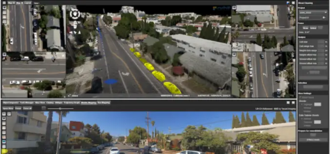
Orbit GT Releases 3D Mapping Content Manager V18
Jan. 30, 2018 – Orbit GT is happy to release the new 3D Mapping Content Manager v18. “The Content Manager is arguably the most unique yet extremely powerful product in our
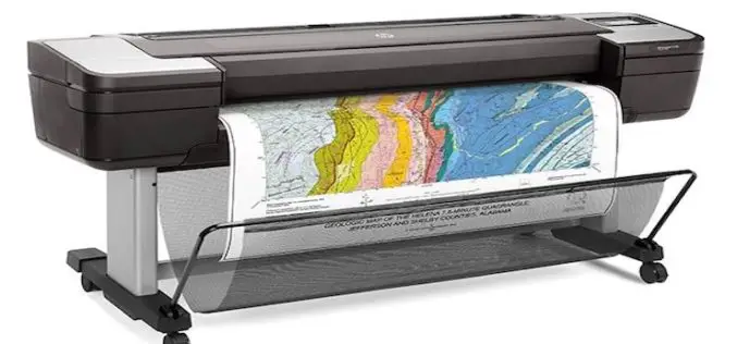
HP Launches World’s Most Secure Large Format Printers for GIS Mapping
Adds HP Secure Boot and Whitelisting to HP DesignJet T1700 printers for enterprise and government. Jan. 30, 2018 – HP Inc. introduced HP DesignJet T1700 printers, next-generation 44-inch solutions for CAD and geographic

Boundless Launches Massively Scalable Geospatial Server for the Enterprise
Boundless Server Enterprise Serves Location Data In The Cloud; Offers Most Powerful Solution for Availability and Responsiveness St. Louis, MO – Jan. 30, 2018 – Boundless, the leader in open GIS,

Woolpert’s Jeff Lovin Elected ASPRS Vice-President
The firm’s senior vice president and director of Government Solutions joins an elite group selected as leaders for multiple national and international photogrammetric and remote sensing organizations. Dayton, Ohio (Jan.
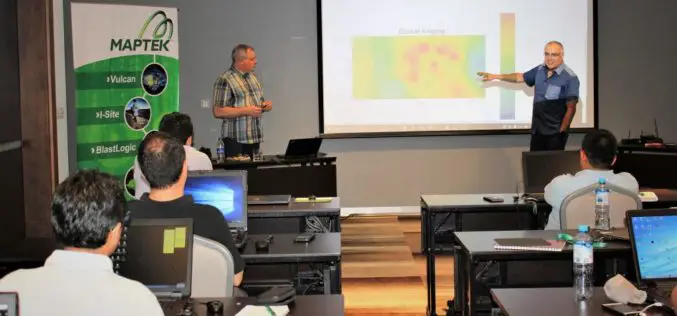
Maptek Launches New Master Program in Geostatistical Modelling
As part of an ongoing commitment to the transfer of specialised knowledge, Maptek South America will present a new dedicated training course, Master in Geostatistical Modelling of Mineral Deposits, starting in

China Plans to Launch 60 High-resolution Video Satellites by 2020
China plans to launch 60 high-resolution Jilin-1 video satellites by 2020, the satellite developer said. The high-resolution optical remote sensing satellites were independently developed by Chang Guang Satellite Technology Co. Ltd.

IIT-Roorkee Professor Develops New Technology for Aerial Survey
According to recent news by the Hindustan Times, Professor Kamal Jain at the civil engineering department of the IIT used a drone for taking videos with an interactive web map to demonstrate
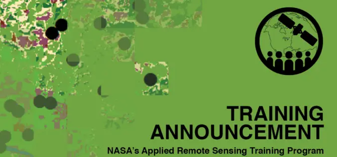
ARSET Advanced Webinar: Land Cover Classification with Satellite Imagery
Advanced Webinar: Accuracy Assessment of a Land Cover Classification Dates: Tuesday, February 13, 2018 to Tuesday, February 20, 2018 Times: 11:00-13:00 and 23:00-01:00 EST (UTC-5) In last year’s ARSET Advanced Webinar: Land Cover Classification

Topcon Announces Upcoming MAGNET Enterprise Release Including Autodesk BIM 360 Integration
Livermore, Calif., U.S – January 23, 2018 – Topcon Positioning Group announces an update to its MAGNET® Enterprise software system that will expand integration with Autodesk solutions with a new Autodesk BIM
